Category Archives: Art

Coming to Kochi

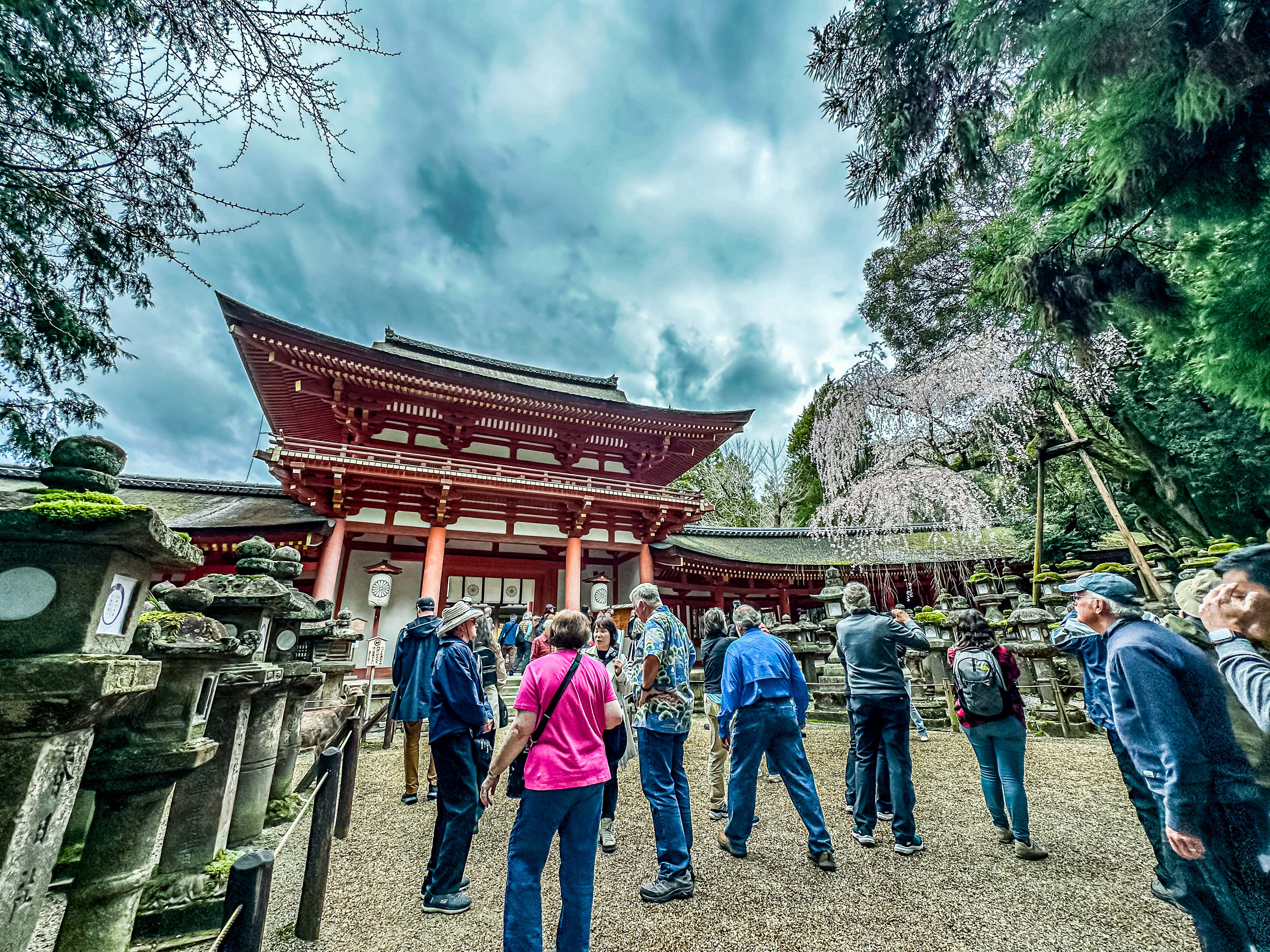
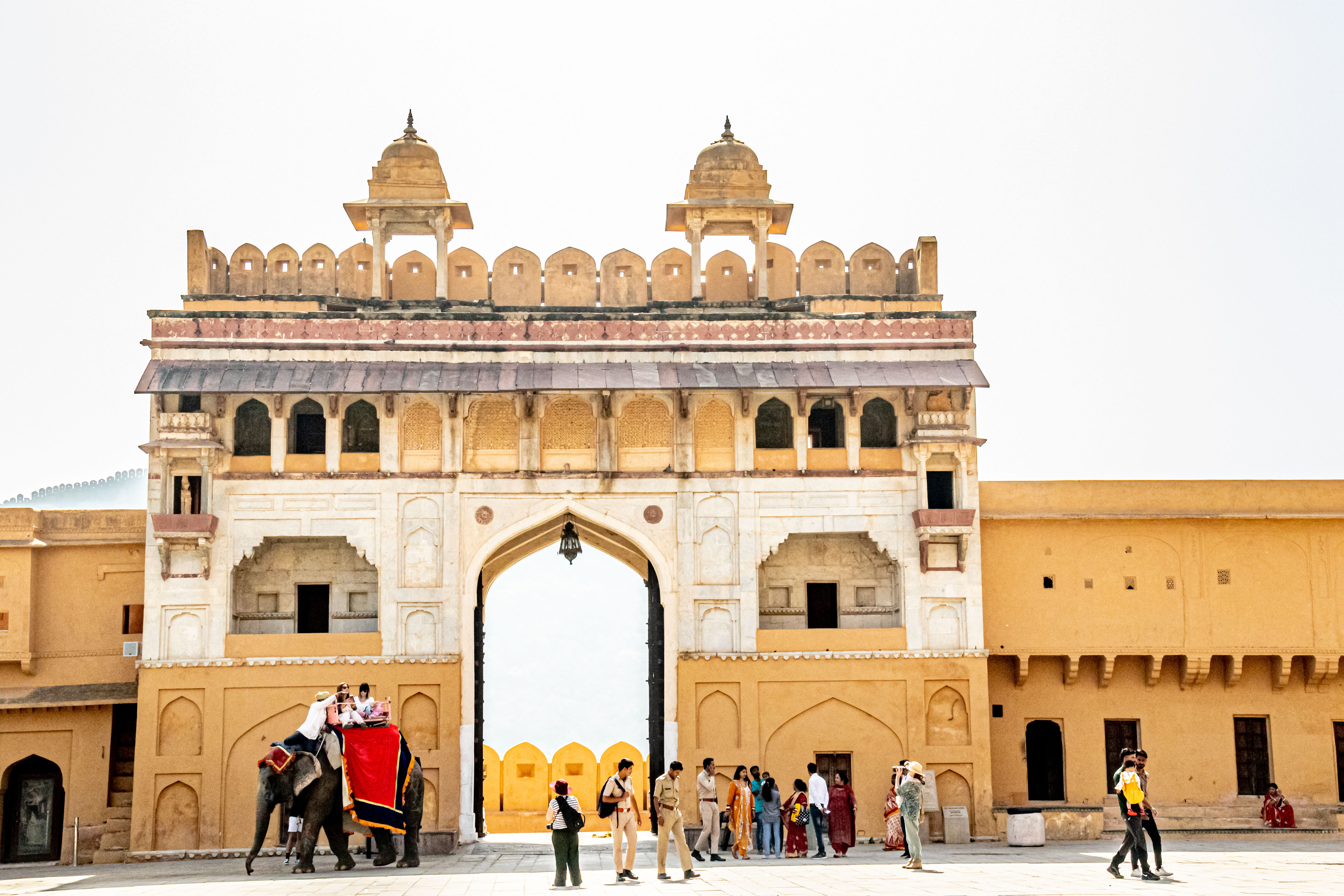
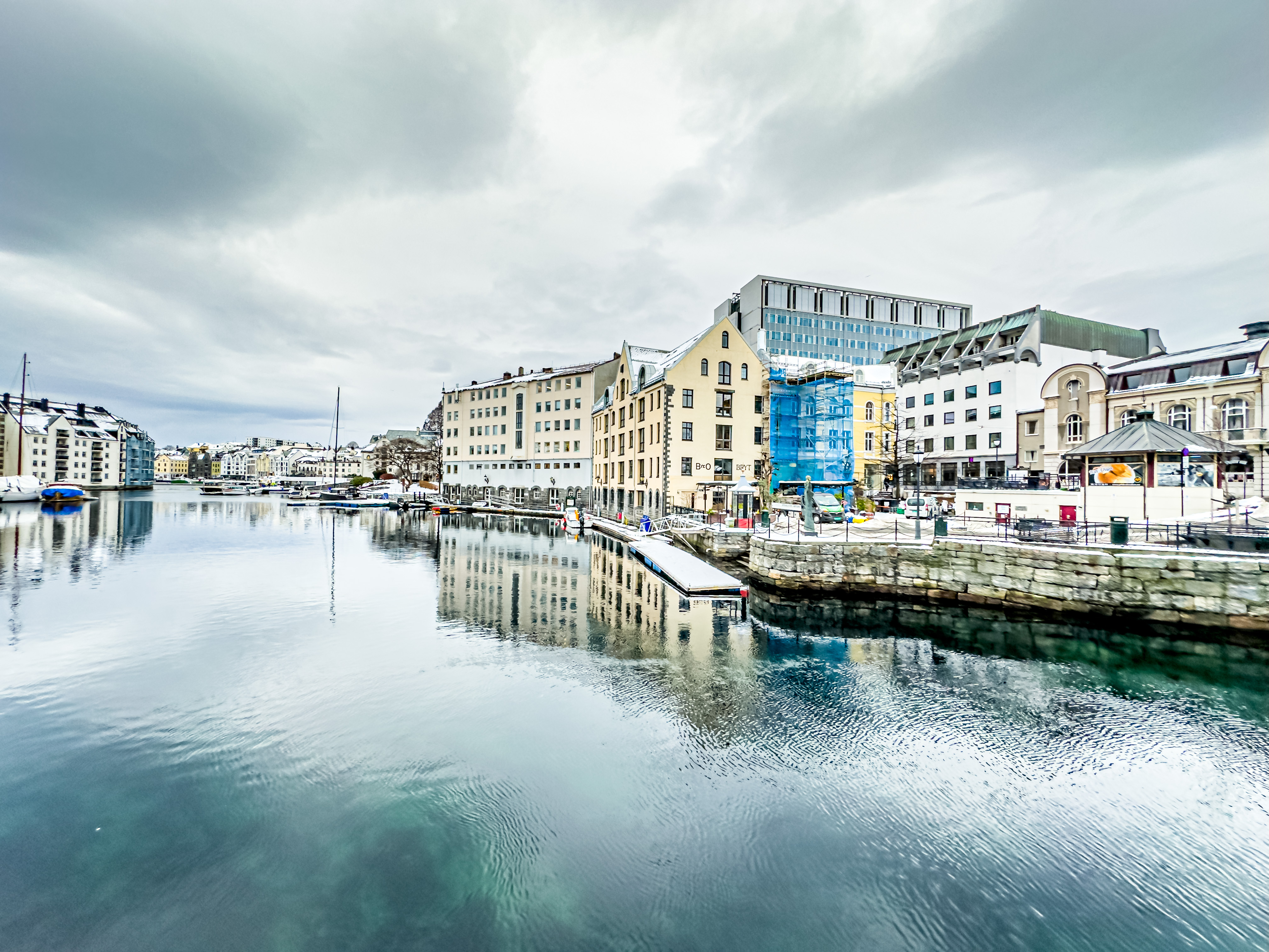
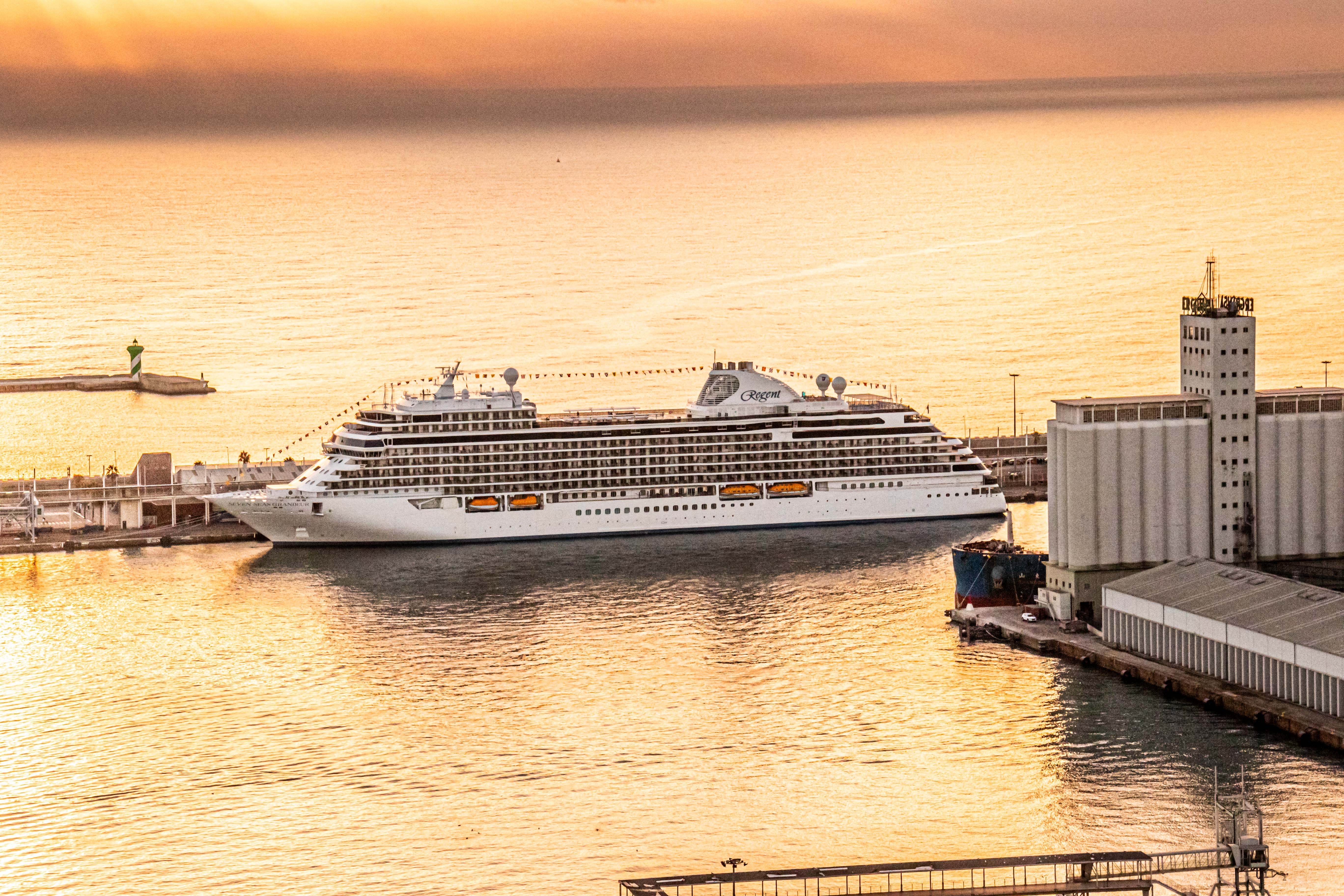
On April 5, 2024, we finally arrived at another of the four major Japanese islands (the “Home Islands”); Shikoku Island.  Our explorations for that day included a drive out into the countryside to see some amazing caves, the Ryugado Caves, which are made of limestone. The caves were found in 1931, and have a waterfall inside, and impressive stalactites and stalagmites.  We also visited Kochi Castle, one of the 12 original feudal castles.

Like most of our other tours, our guide was determined to jam as many facts about the area into our heads during the bus ride as he could. However, in a first, our guide for the day, Keiko, was a very young man (24), and he had a much more relaxed demeanor, and more apparent sense of humor than any of our prior guides. Despite his relative youth, he was very knowledgeable, and a passionate booster of his town.

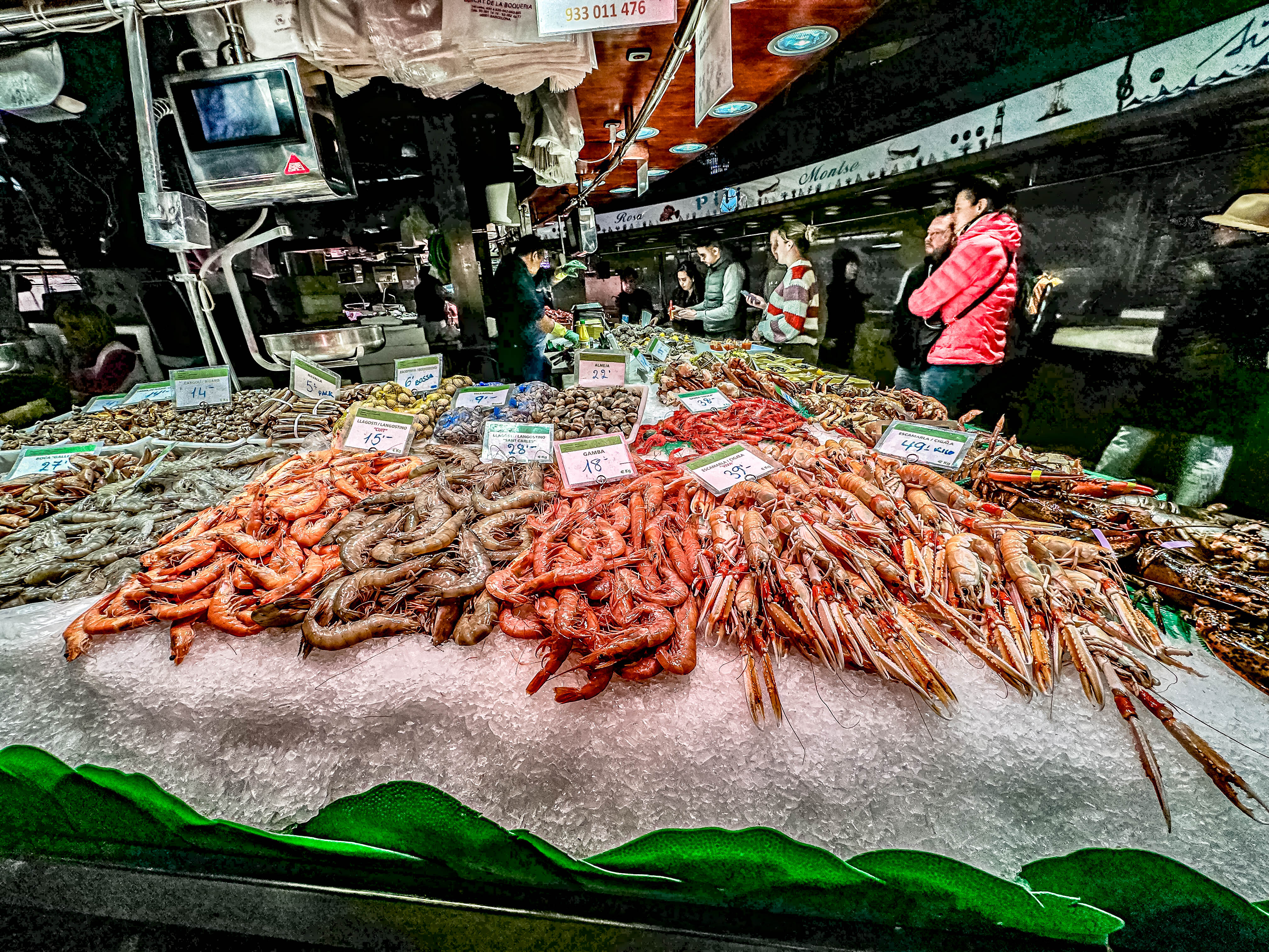
Here in the Kochi area, the biggest industries are fishing (surprise, surprise) and rice growing (although the local farmers only only get one rice crop per year). Yuzu is also grown here (and other types of citrus, as well). Lots of produce is also grown here, and we passed many in green houses and rice fields on our journey.

Rice fields

Kochi is well-known for its surfing, and Keiko was a surfer. There are two world-famous point breaks at a local beach near the town. Professional surfers come from all over the world to surf here. Who knew?!

The most plentiful and popular local fish is bonito. The Kochi bonito (like skipjack) is very famous and good, and is caught by line fishing one by one, using roe as bait. Locally, they like to grill it over a straw fire (built on a pitchfork) and only cook the fish about 1 minute per side.

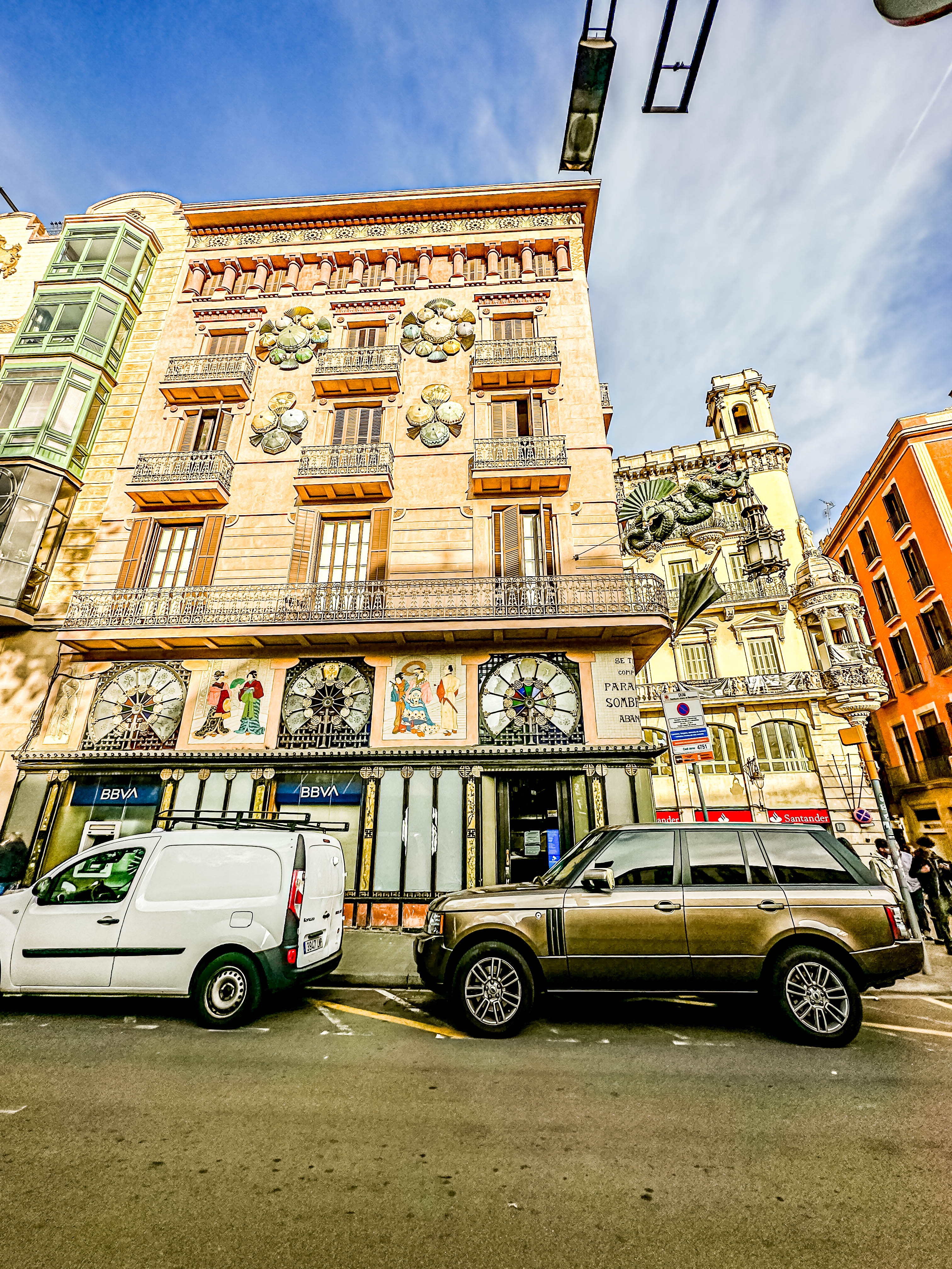
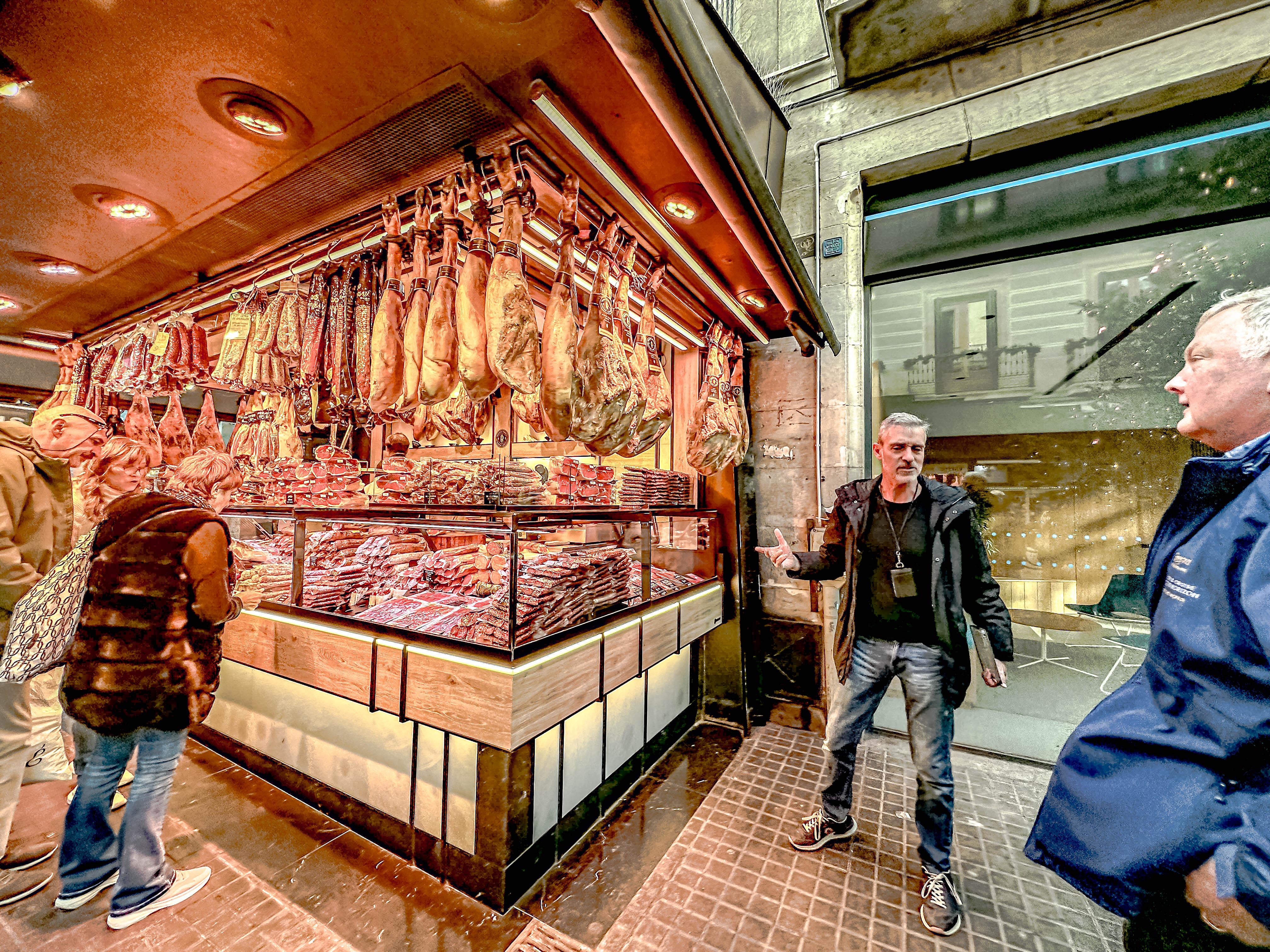
Most of the population of Shikoku is located along the coasts, because it is very mountainous in the interior. This was pretty obvious as we quickly passed out of the city of Kochi and into the more mountainous countryside. However, on our way out of town, Keiko pointed out the local fish market (Hiromé Market ), and Keiko told us that local people go there to drink. He even commented that many people just go there to drink, and usually drink to excess (at least the men do). See what I mean about a different demeanor from our usual Japanese guides?!

Hiromé Market

Locally, Gyoza dumplings are very popular, and you can find lots of them in the market. They pair well with the local beer.  There’s also a big Sunday market for great local produce. There is also an annual Yosikoi dance festival held in August each year. Keiko admitted that he liked to do this traditional form of dance which involves moving in lines or processions which shaking wooden noise makers in time with the music. He was kind enough to demonstrate for us while on the bus. 

In downtown Kochi, we passed a famous bridge called Harimayabashi-which had been designated the  most disappointing tourist sight in Japan one year. There is also an annual award for the ugliest office building, and Kochi has one of those as well.  This was definitely NOT one of our usual Japanese tours!

Harimayabashi Bridge

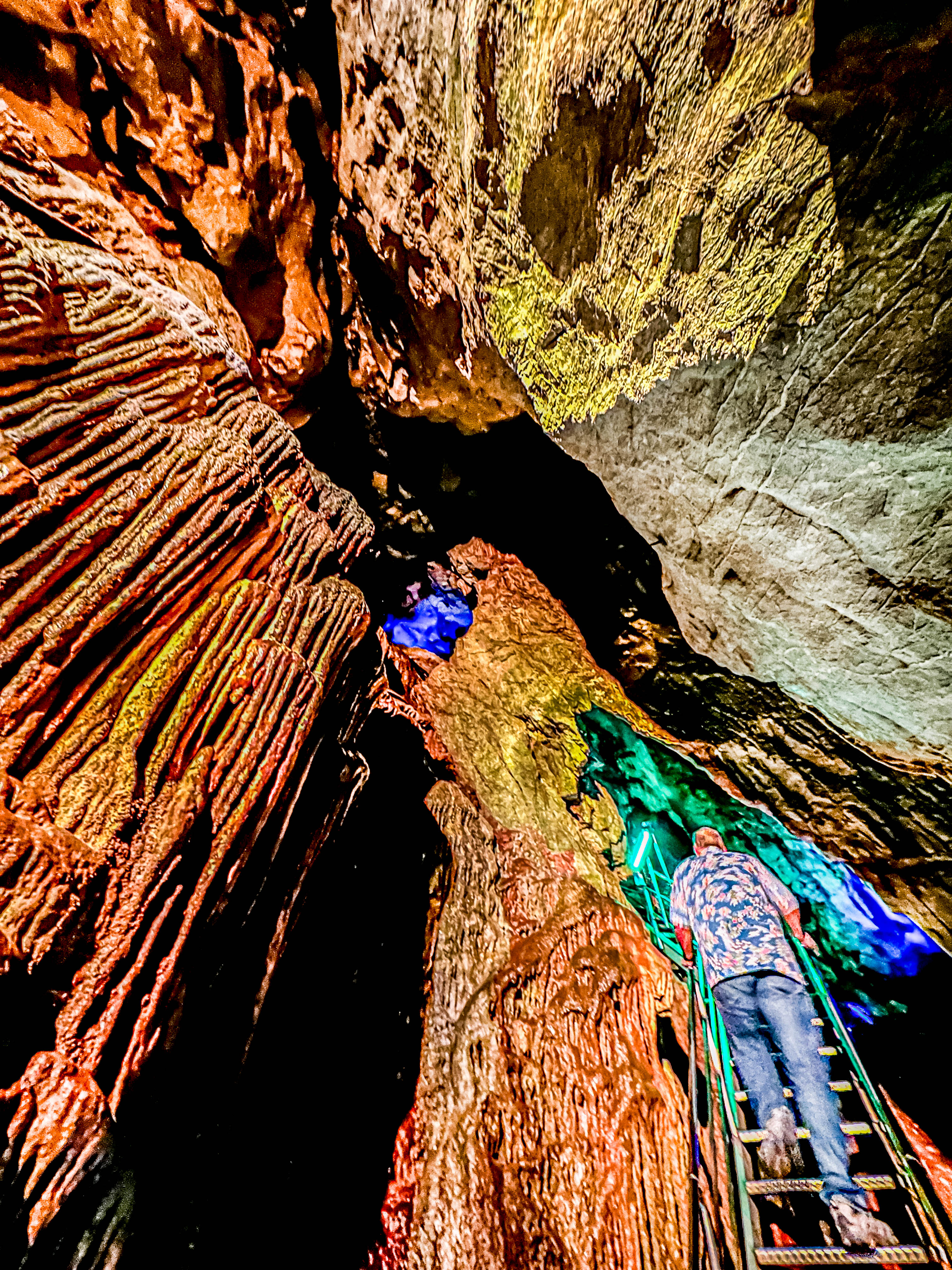
As we prepared to go into the caves, Keiko let  us know that along the pathway leading into the caves, there were knife merchants who were trained in the traditional art of steel crafting, and they made high quality Japanese chef’s knives, which could be personalized while we were in the caves. the men on the tour stampeded towards the knife sellers. Surprisingly, they appeared to be really high quality, and Jim joined the hoards purchasing one.

At the caves
Hiking up to get into the caves

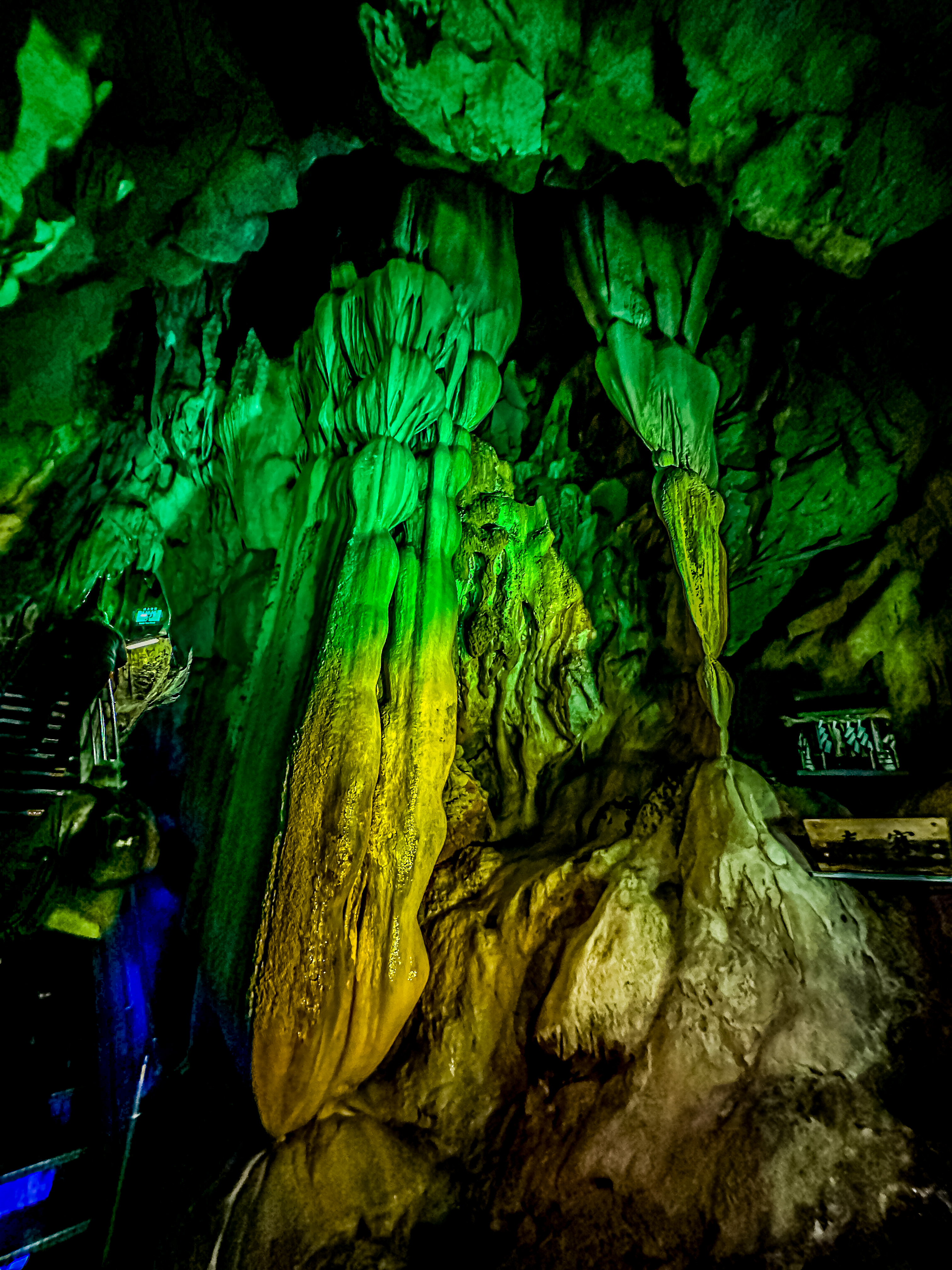
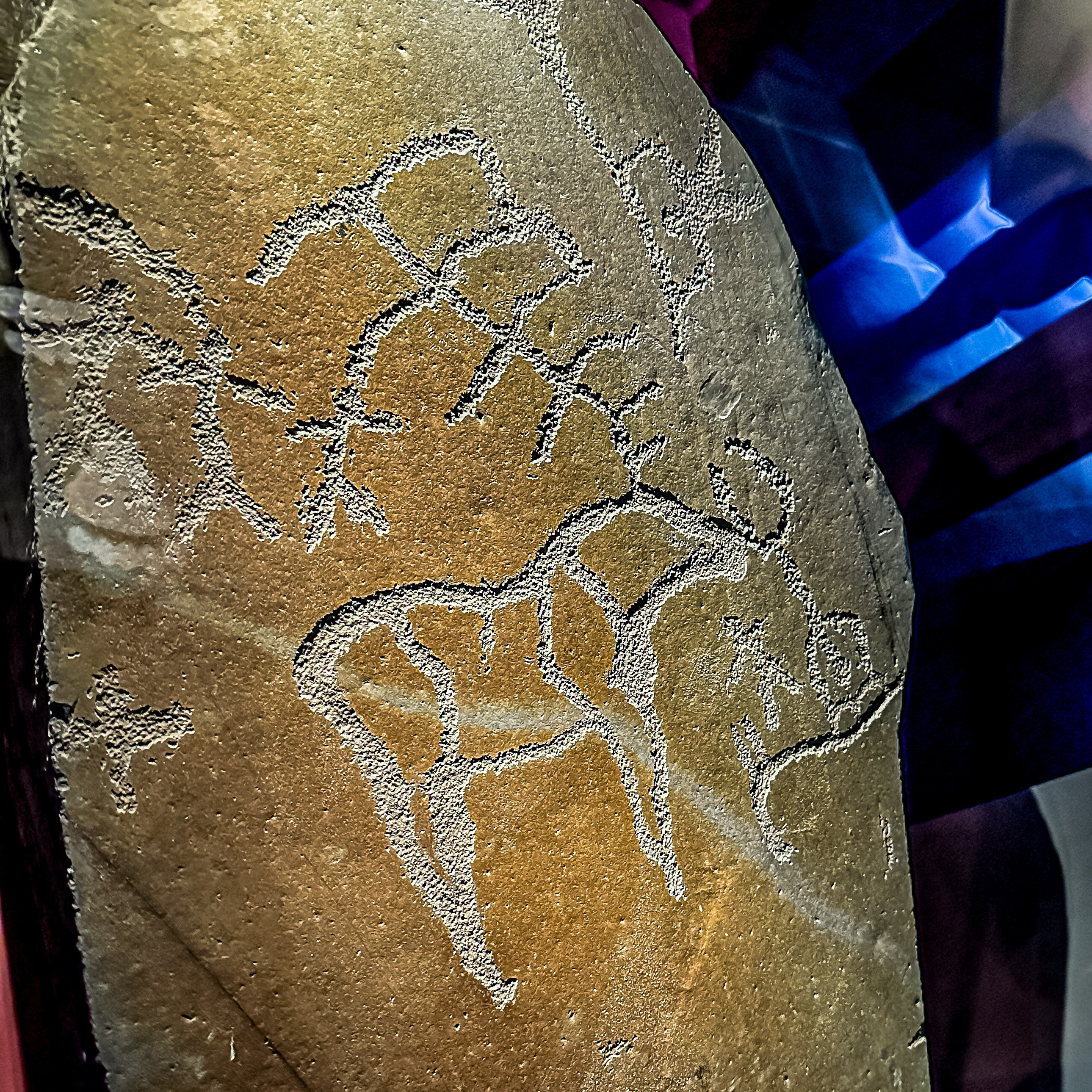
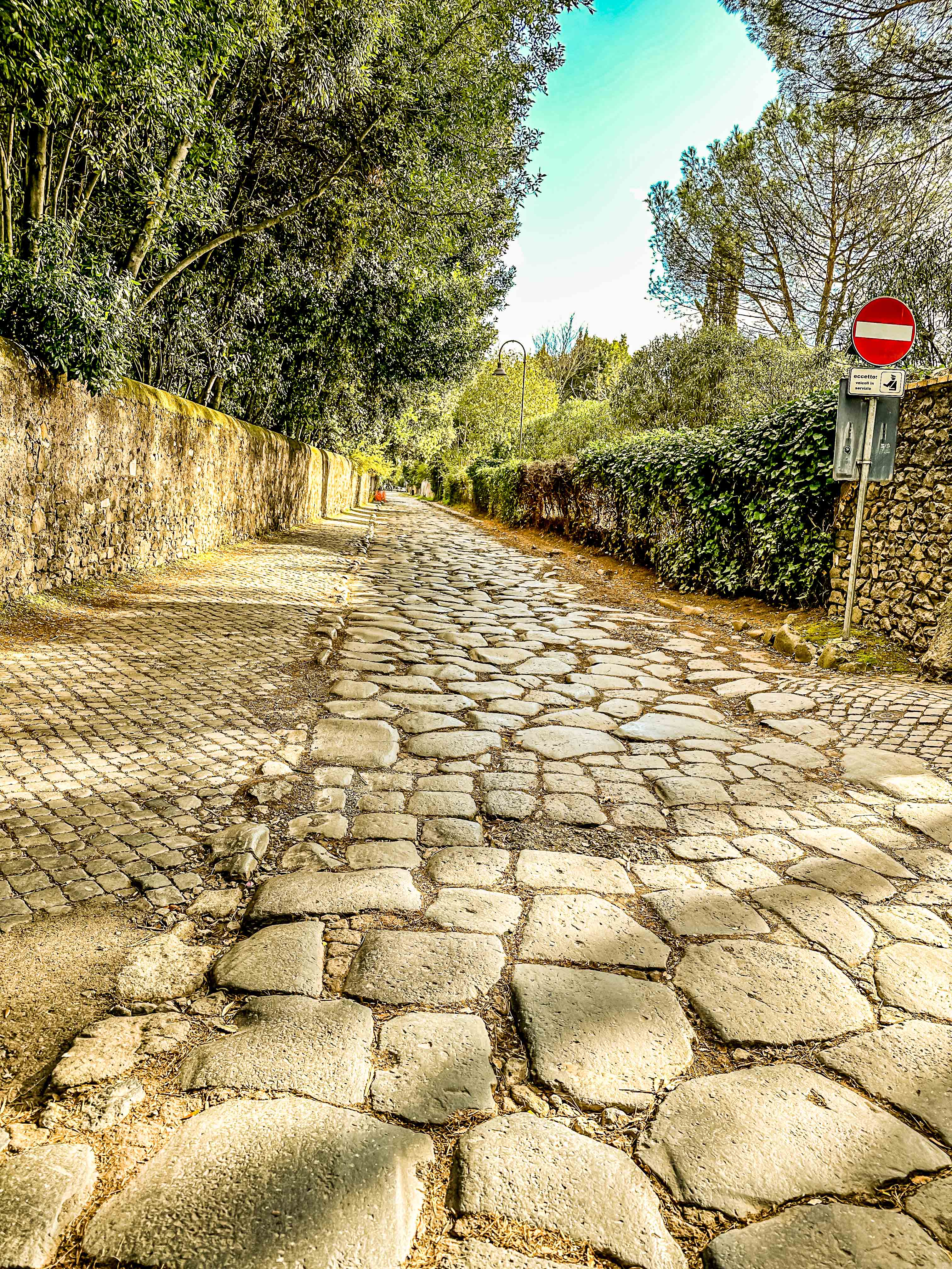
The caves were very pretty, although not the best we’ve ever seen. However, a word to the wise; they are NOT for the claustrophobic or anyone with a mobility issue.  It was a serious hike to get through the caves, and at places, required walking bent in half and twisting around rock outcroppings. There were also several steep changes in elevation. Nonetheless, we were fine, and enjoyed the visit. 

Climbing, climbing, climbing …

 Keiko also told us abut a local juice drink made from Yuzu juice, and it was just the thing to drink after our hike. I looked for it again at our future stops, but never saw it again.

The Yuzu drink
Jim with his new knife!

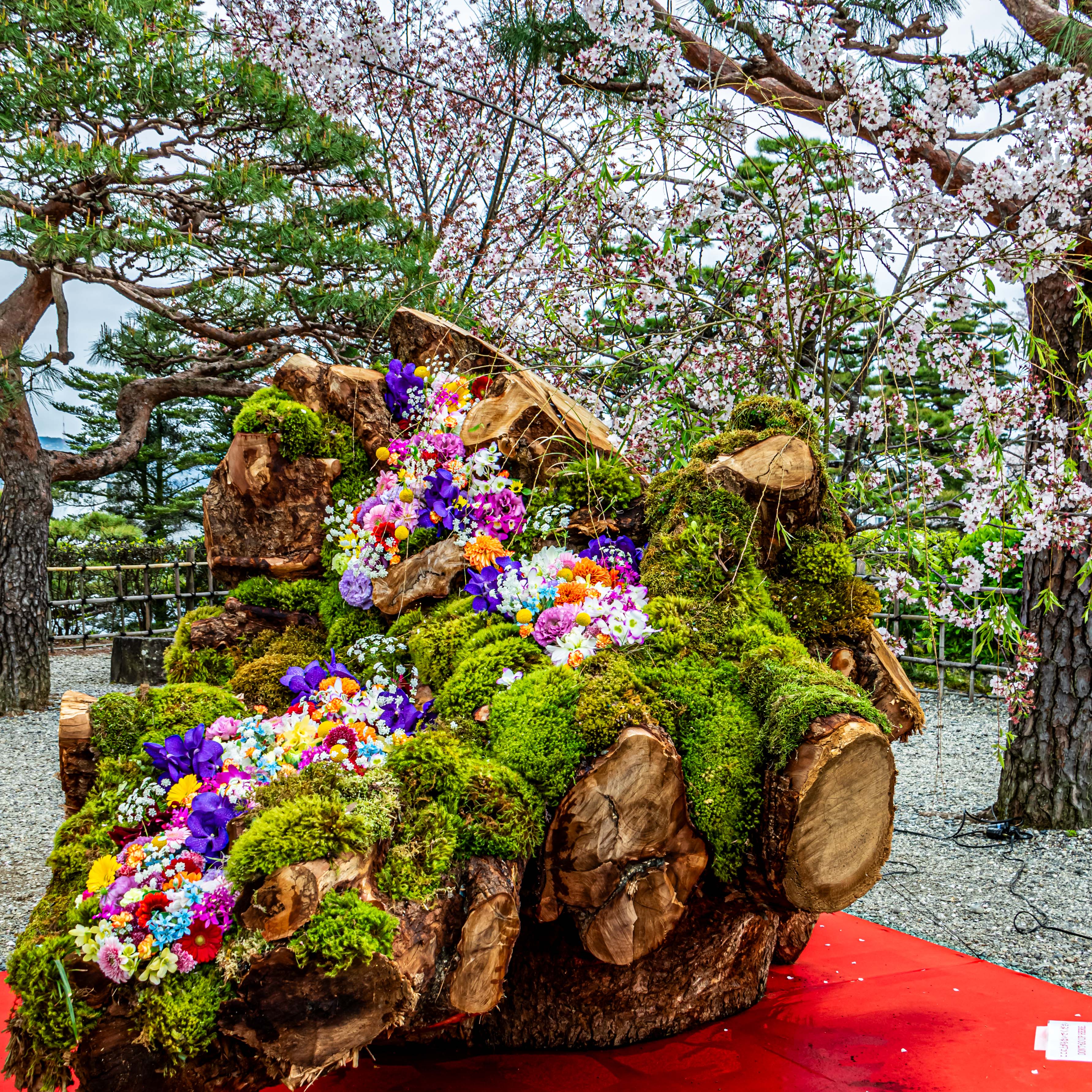
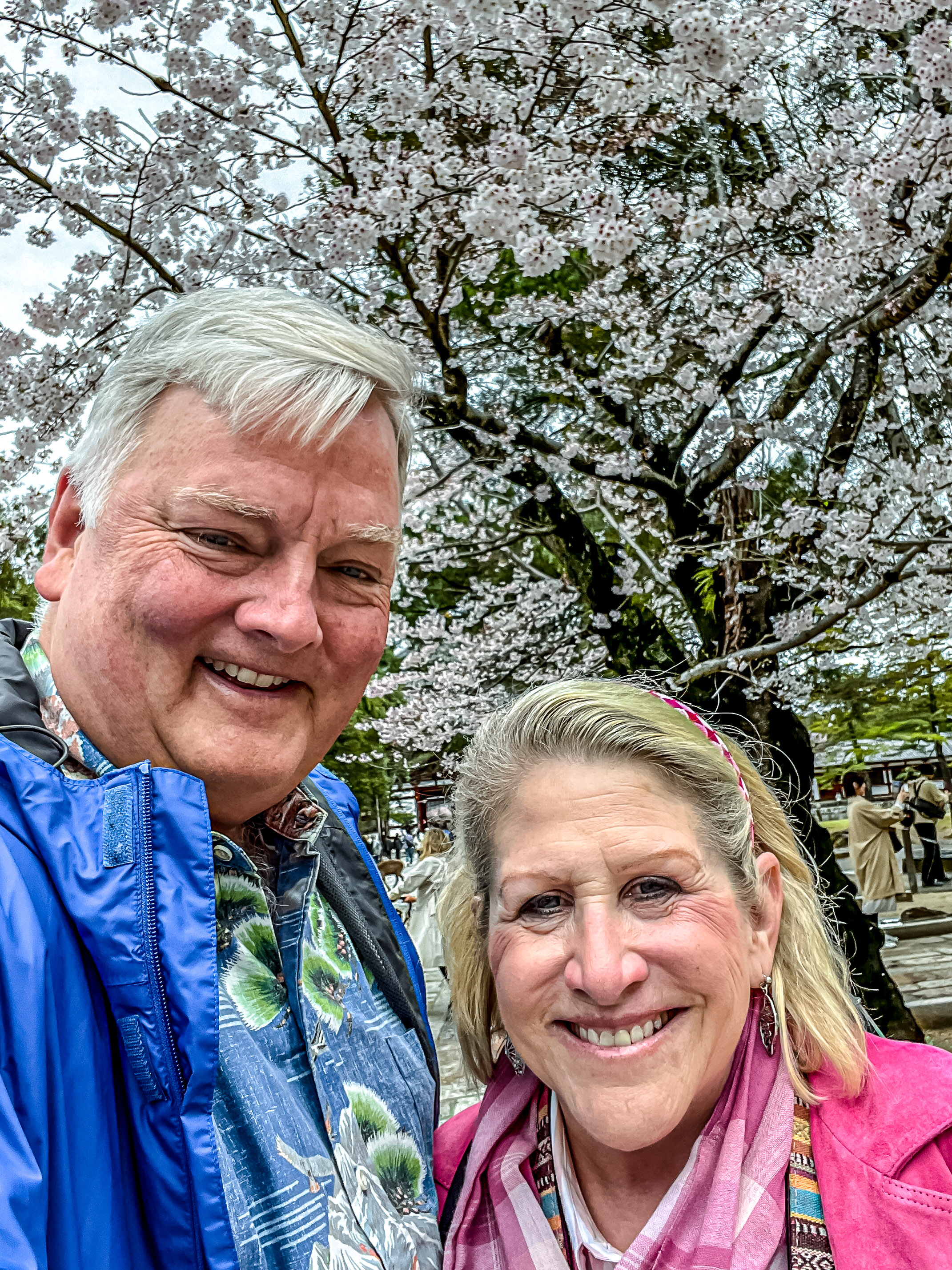
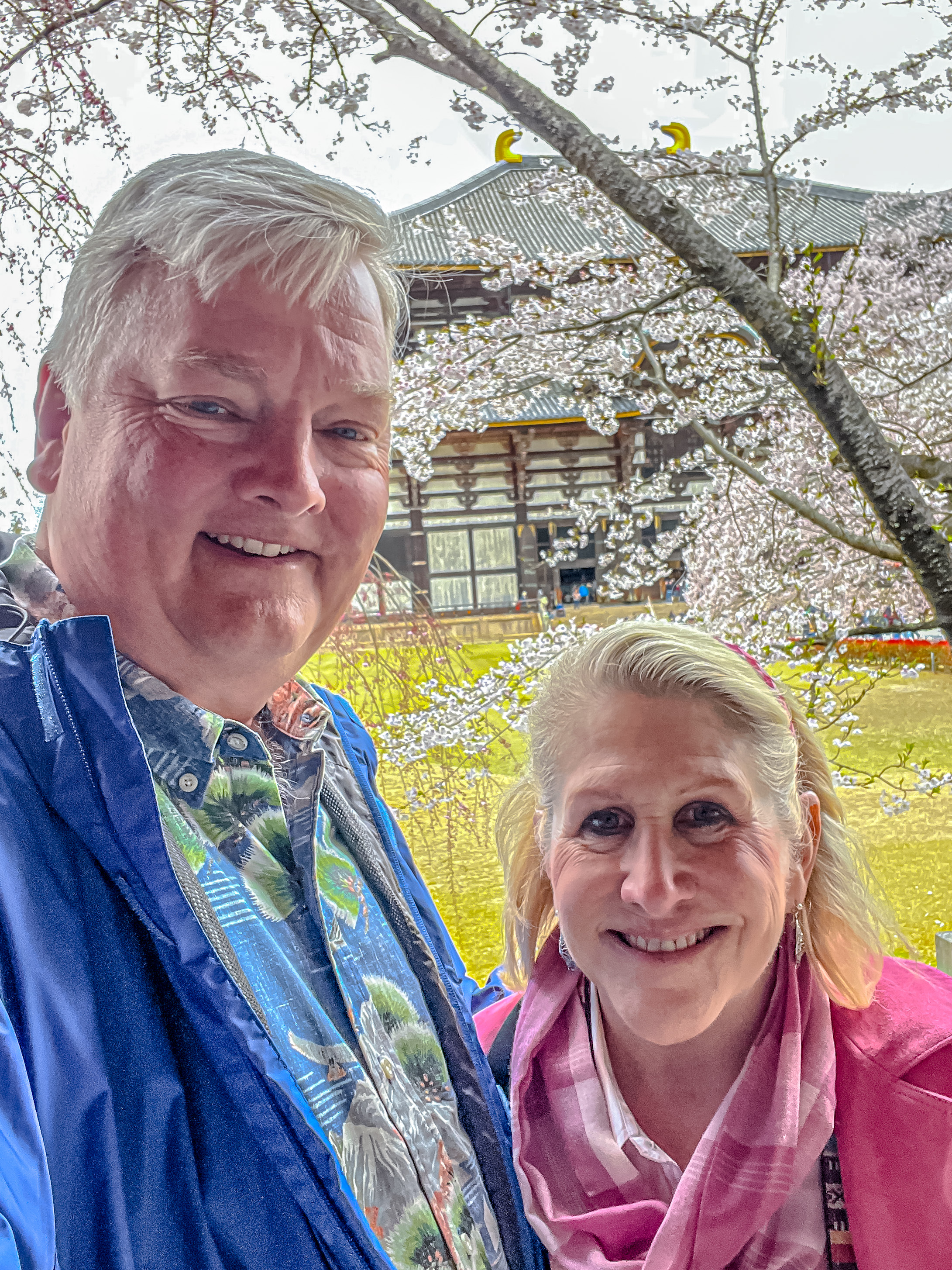
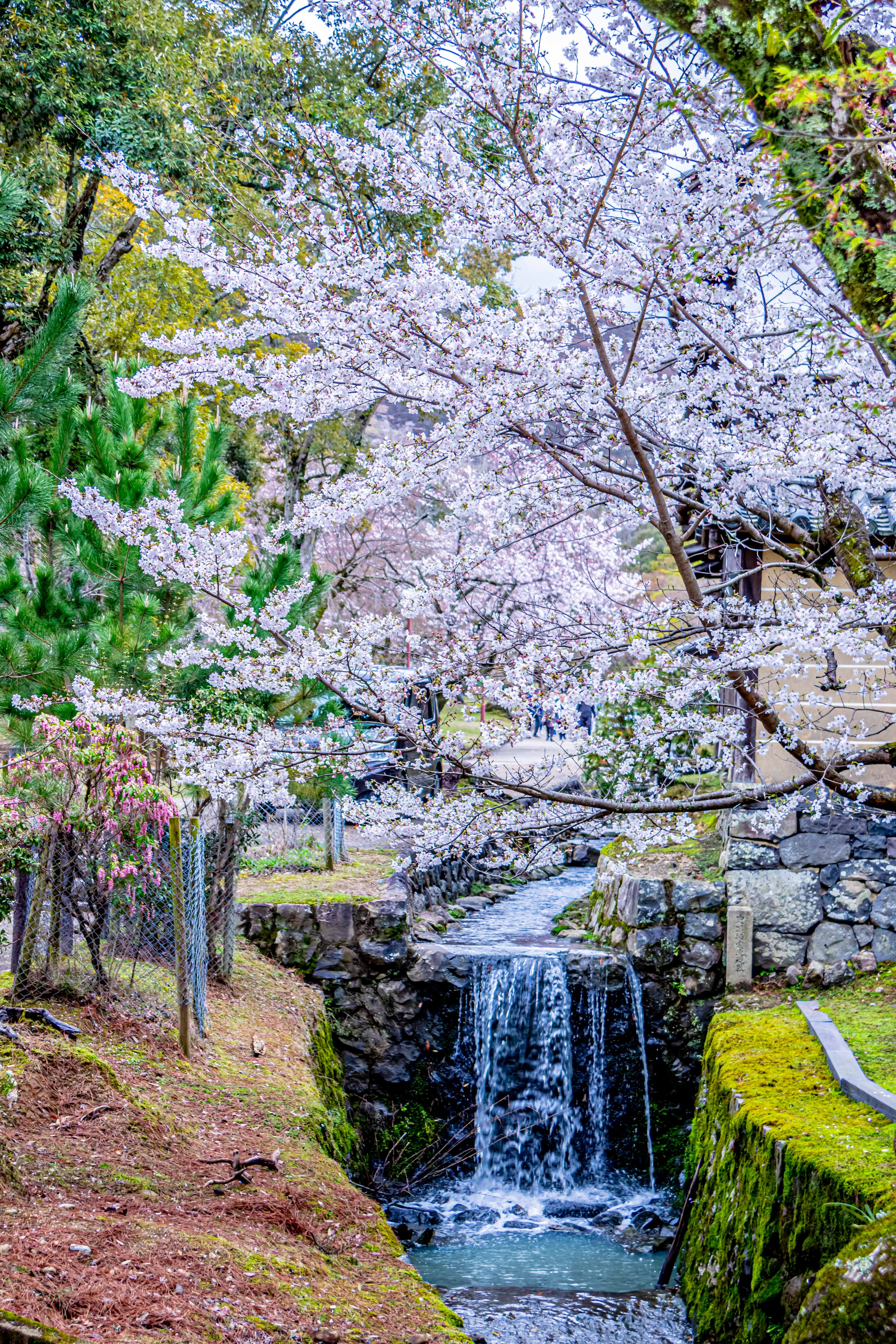
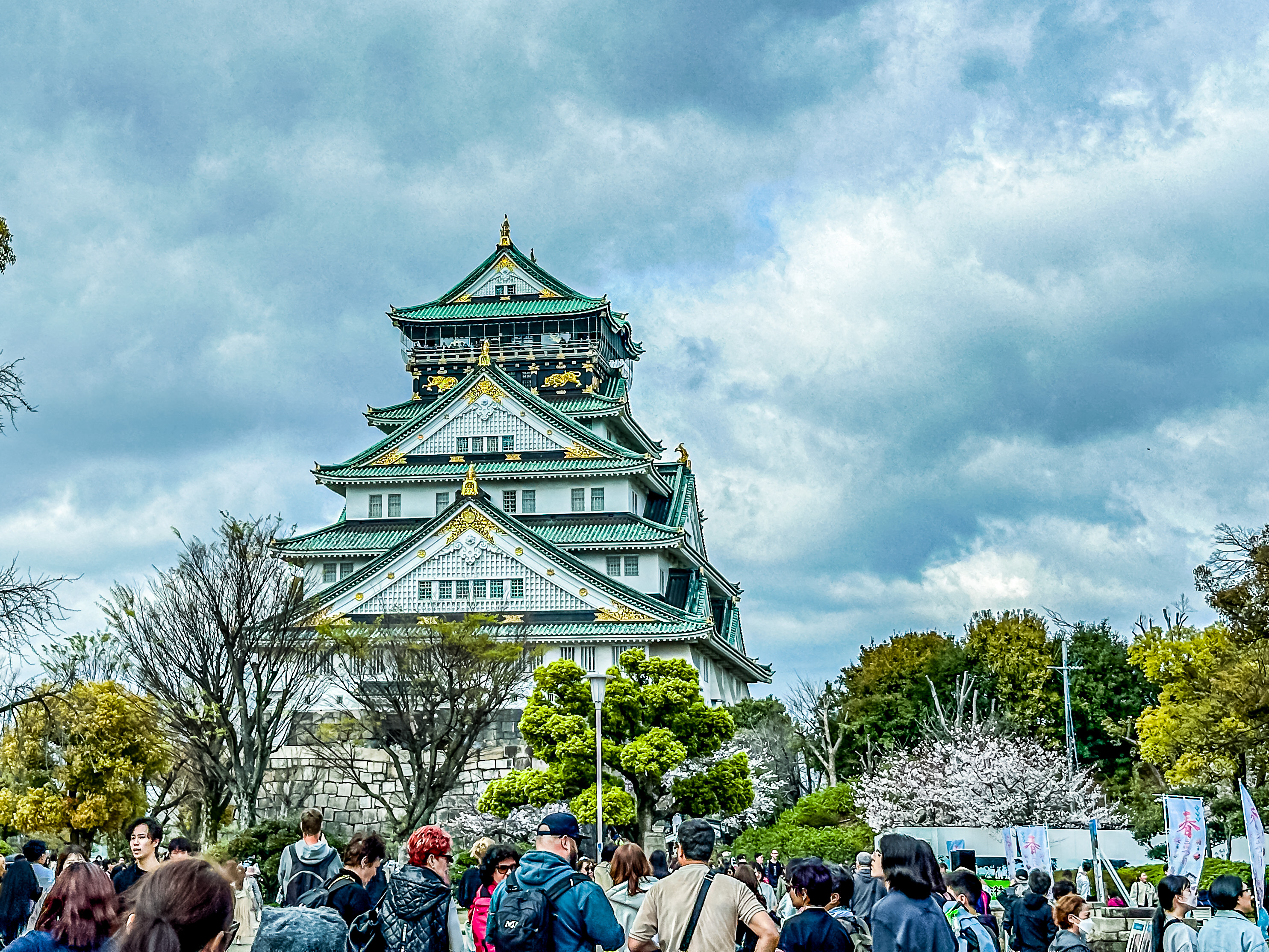
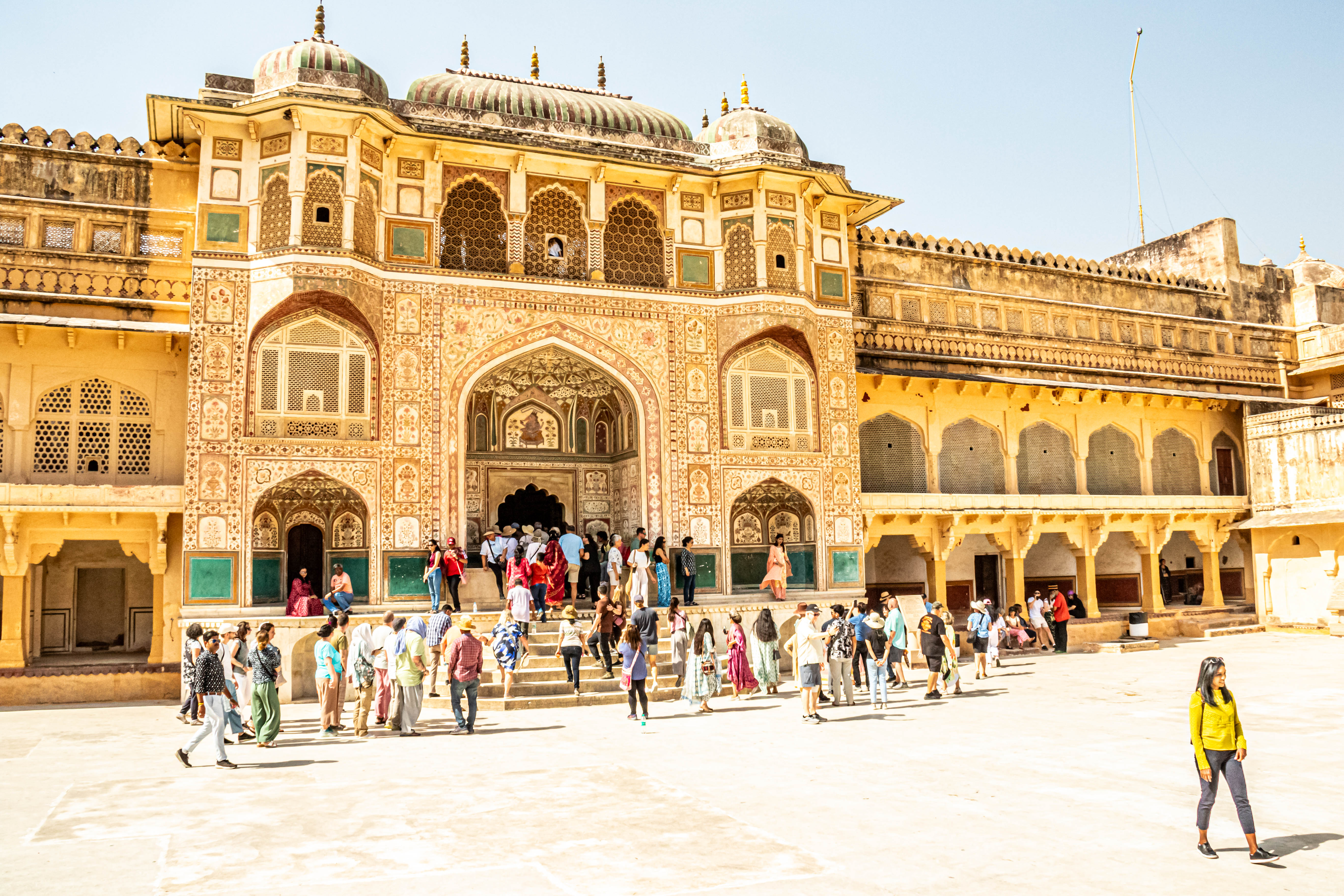
After we drove back to town, our second stop of the day was at Kochi Castle, where we visited the grounds and climbed up to see the Castle. Not only were the cherry blossoms in full bloom all over the castle grounds, but the local garden society was hosting a flower show, and some of the arrangements were breathtaking!

Entering through the main gate (Otemon)
Kochi Castle

Kochi was one of Japan’s 12 original castles, and a symbol of its feudal past. It has original Edo period (1603-1868)architecture, and its citadel. In 1601, Yamauchi Katsutoyo constructed the castle. He won a famous battle, after being rewarded with the land to build the castle by Tokugawa Ieyasu.

We started our visit at the bronze Statue of Yamauchi Katsutoyo standing outside the Castle. He seems to be revered in this part of Japan, with even Keiko speaking respectfully and admiringly of his accomplishmentsYamauchi Katsutoyo was the first lord of the Tosa domain (now Kochi prefecture). He was born in Owari (now Aichi prefecture) in 1545. His father served Oda Nobuyasu, who was the Lord of Wakura Caste in Owari. When Katsutoyo was 13 years old, his father was killed in battle, so he was forced to wander the land with his mother and siblings.

Yamauchi Katsutoyo

In 1573, he followed Toyotomi Hideyoshi and served with distinction in the attack on the Asakura and Asai families. The order to attack came from Oda Nobunaga, the most powerful general in Japan in those days. Katsutoyo took an active part in many battles and gradually made a name for himself. For his outstanding services to Hideyoshi, Katsutoyo was given Nagahama Castle in Omi. (now Shiga pref.) worth 20,000 koku, and was promoted to the position of Lord of Enshu, Kakegawa (now Shizuoka pref.) worth 50,000 koku after the attack on Odawara Castle in 1590. A koku is a quantity of rice, historically defined as enough rice to feed one person for one year, then being 180.39 liters. In 1600, Katsutoyo fought for Tokugawa leyasu who won the Battle of Seikigahara against the Toyotomi side. For his services he was given the Tosa domain worth 240,000 koku. In 1601, he came to Tosa and started to build not only Kochi Castle but also the castle town, forming the foundations of today’ s Kochi city,

He is remembered for successfully navigating the intricate sociopolitical relationships between Nobunaga. Hideyoshi and leyasu. He died on 20 September 1605 at the age of 61. Based on the original statue of 1913, this bronze statue was rebuit and unveiled on 20 September 1996.

Statue of Chiyo, Katsutoyo’s wife. As set forth in the accompanying plaque, she had her own list of impressive accomplishments!

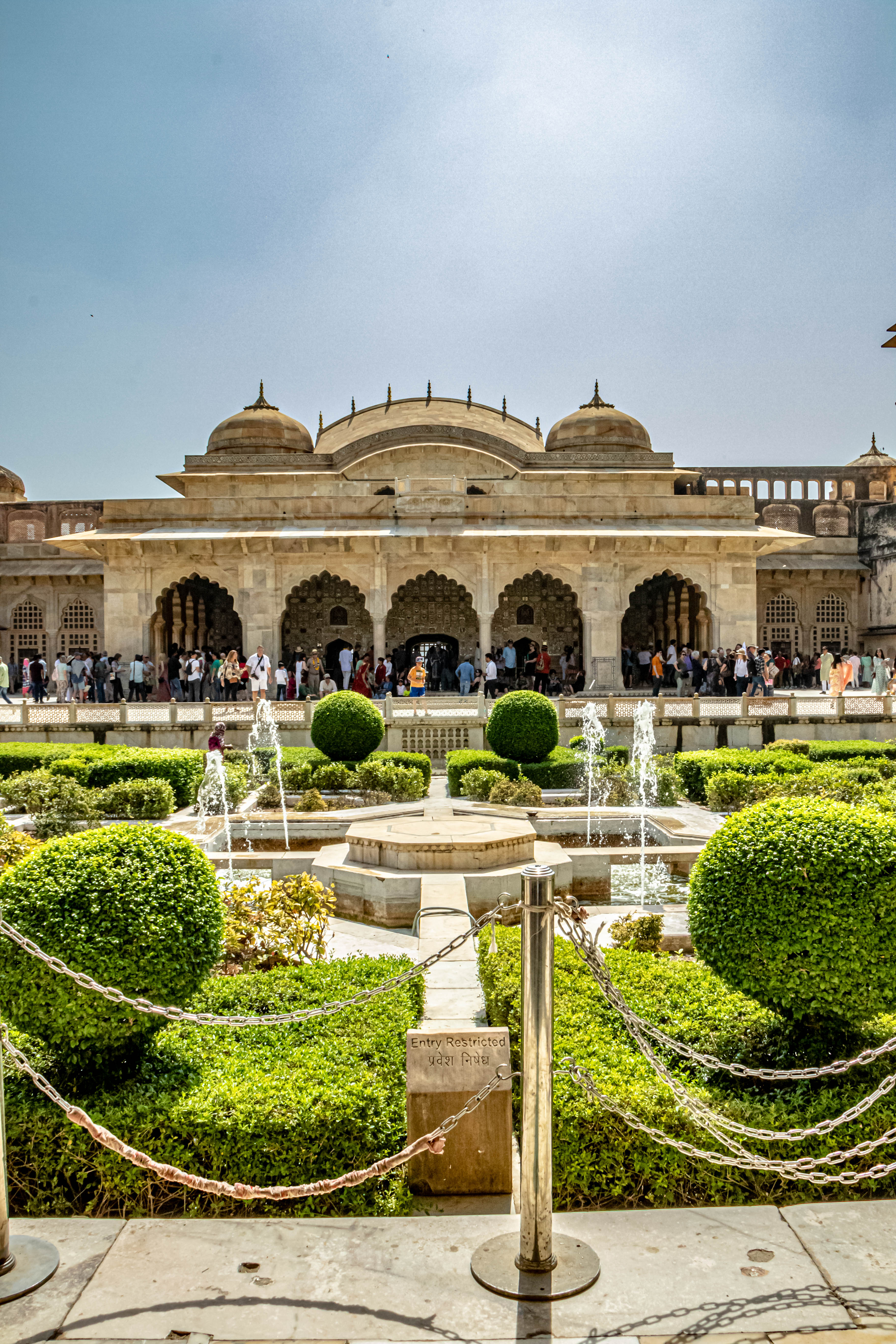
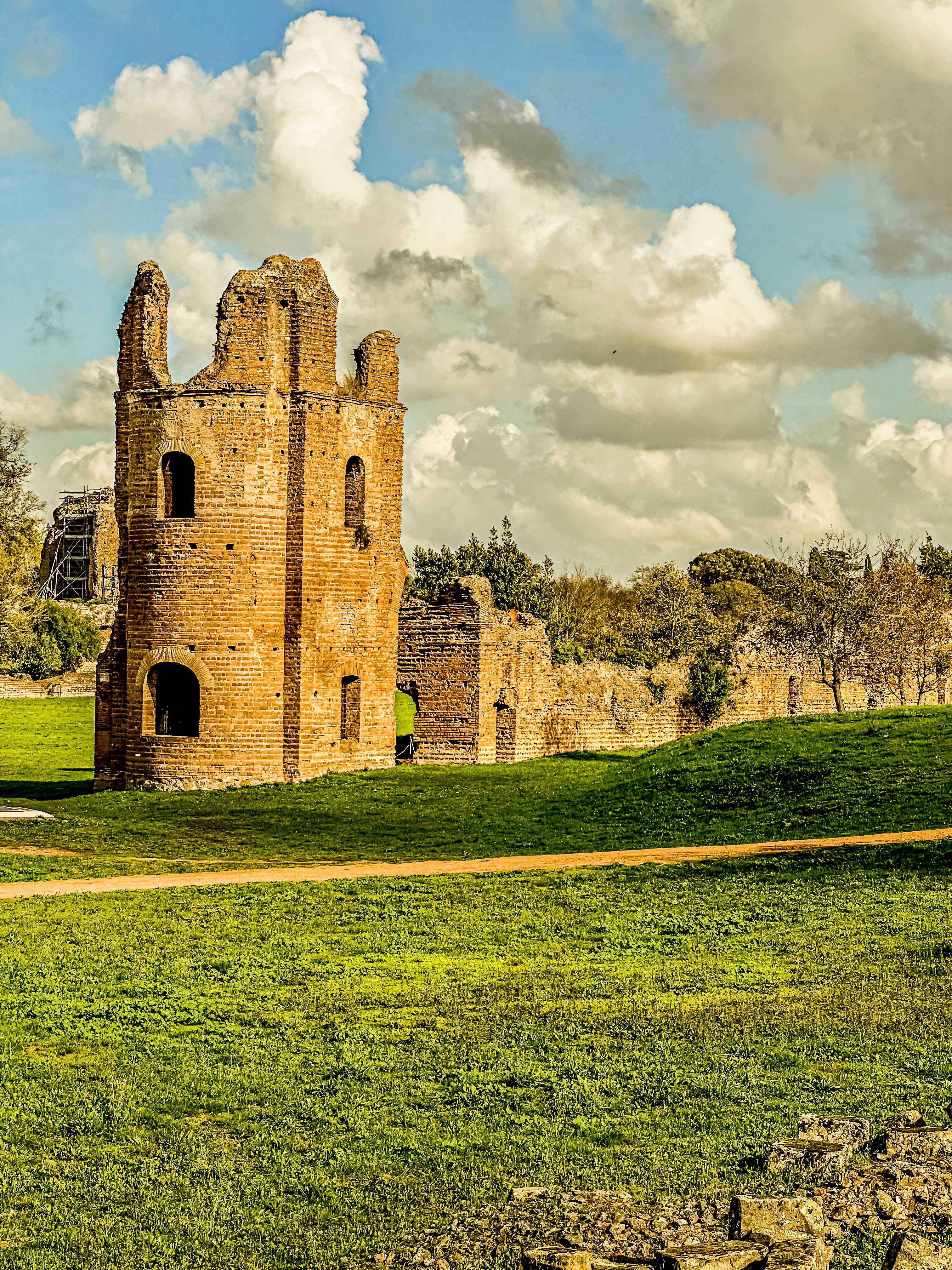
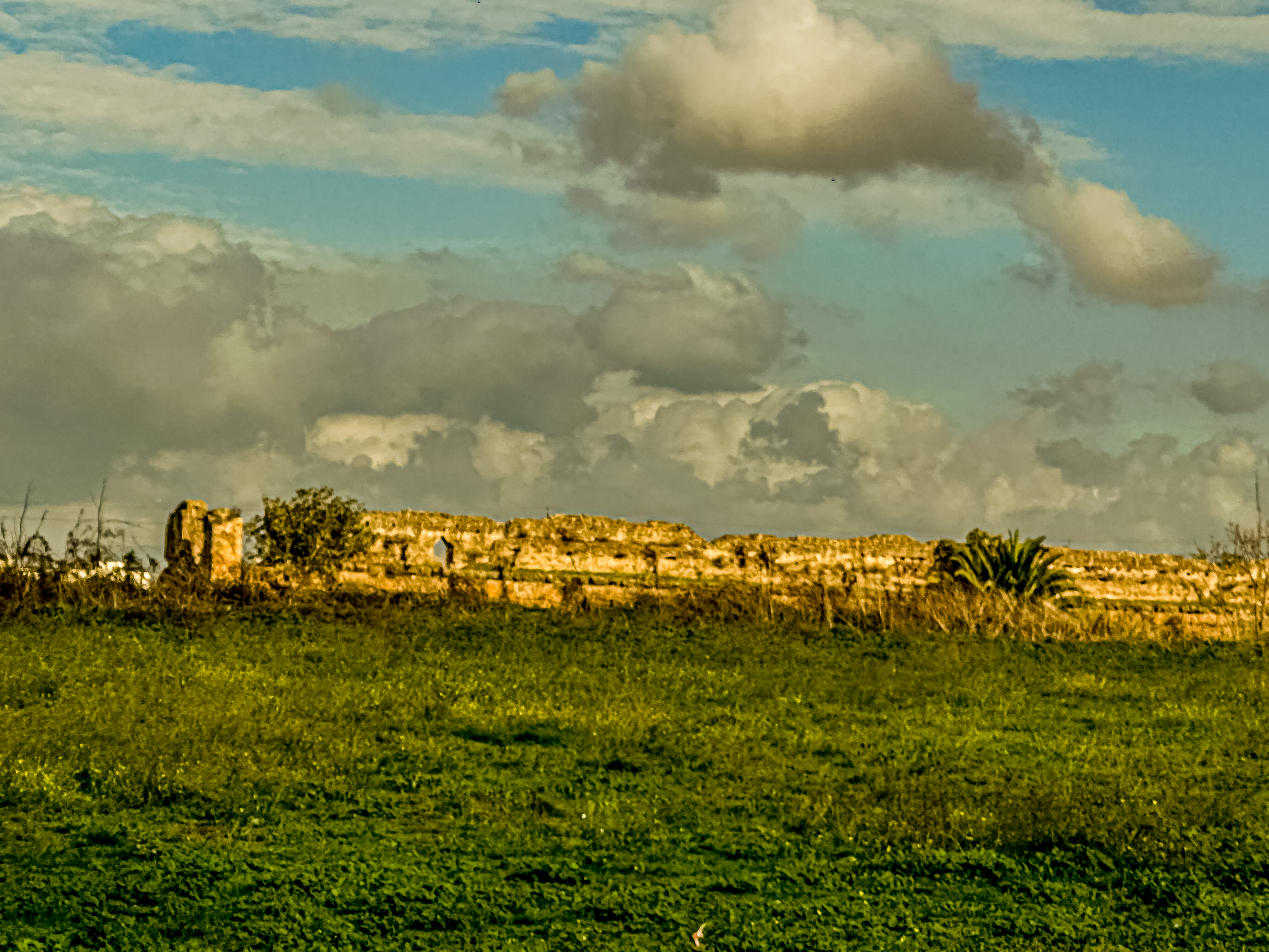
From the ground level, we walked up into a huge raised open area, which was the Third Citadel (Sannomaru). The Sannomaru is the largest terrace in the castle. The total area is 4,641m2, and the circumference is 504m. It stretches 85m from north to south, and 54m from east to west. It was once surrounded by winding defensive walls with many holes to fire guns from, and a watch tower in the north-east corner.

the Sannomaru

There used to be a large building here, with a floor space of 1,815m, which was reportedly used for new year events and other rituals, or whenever a large number of retainers were assembled. The building was also used as the administrative quarter of Kochi province during the Meiji Restoration, and then it came to be called the Kochi provincial office. In 1870, the office was moved to the site of Chidokan, a domain school, which was located to the west of the castle. Later, in 1873, when Kochi Castle was changed into a public park, all the structures here were destroyed. Nothing remains now but the cornerstones of the gateposts at the entrance.

Today, there are a lot of cherry trees here, which Kochi people enjoy in the cherry blossom season. Of these trees, the most important is called the “Yoshino” Cherry tree, by which the local office of the Meteorological Agency predicts the start of the cherry blossom season in Kochi.

And then it was time for the main event. We hiked up the ramparts to the castle. Castles in medieval times were temporary military facilities built only in wartime, and were differentiated from residences where samurai warriors lived during ordinary times. In ordinary times, samurai warriors lived in residences built at the feet of mountains, but when war broke out, they barricaded themselves in castles erected on the tops of mountains and fought. As wars continued and battle methods evolved, castles became permanent facilities, changing in scale and shape.

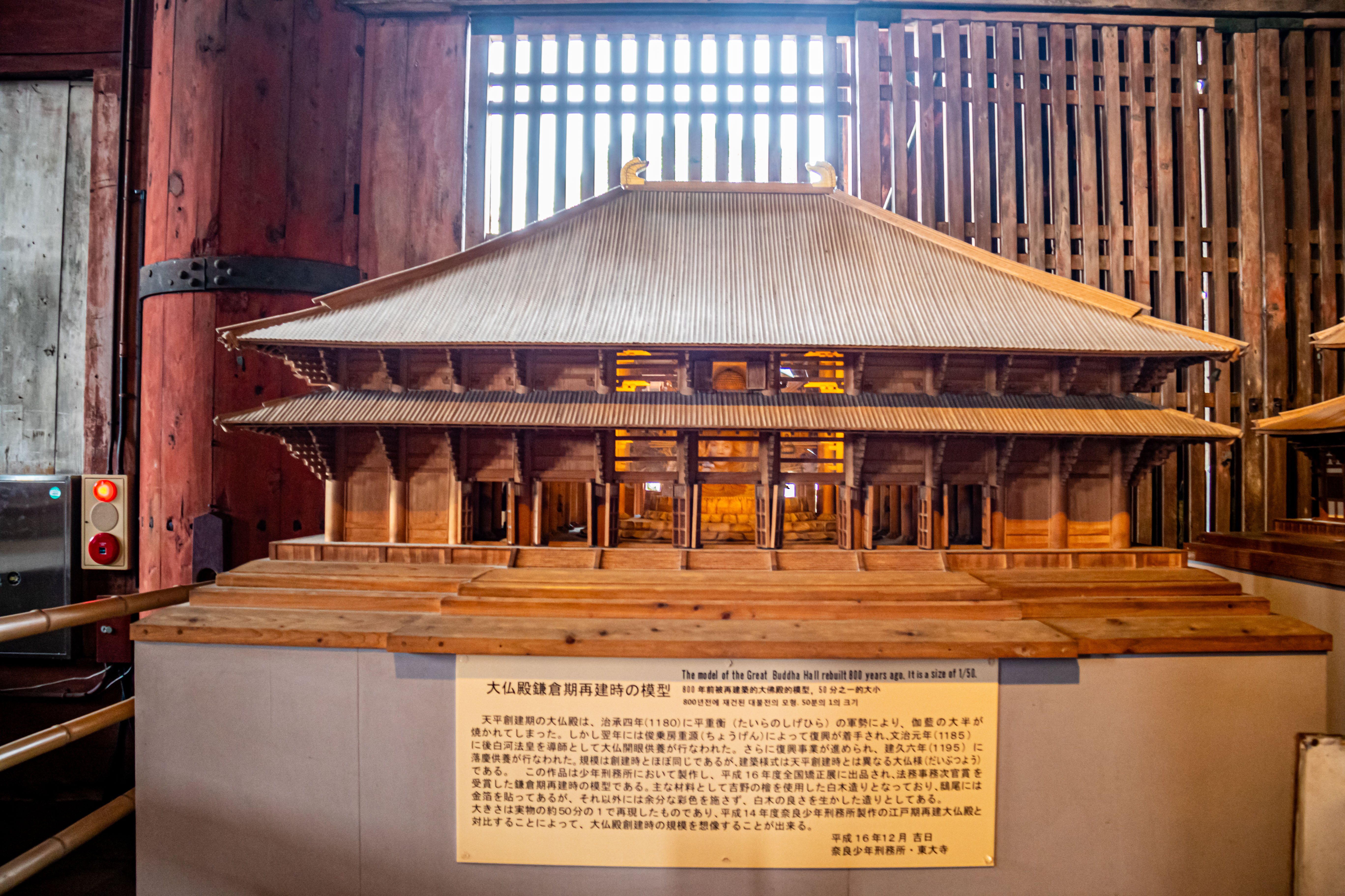
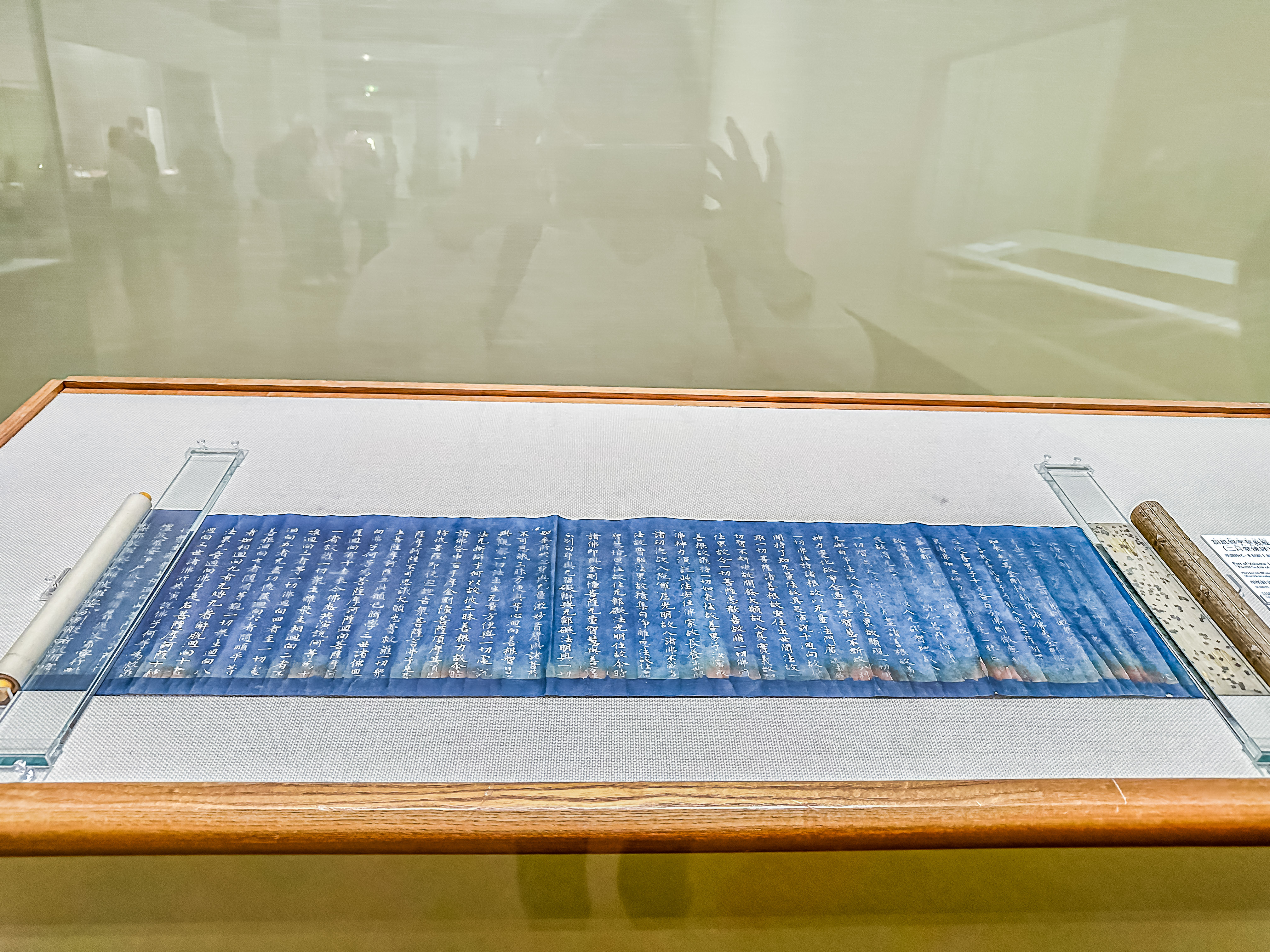
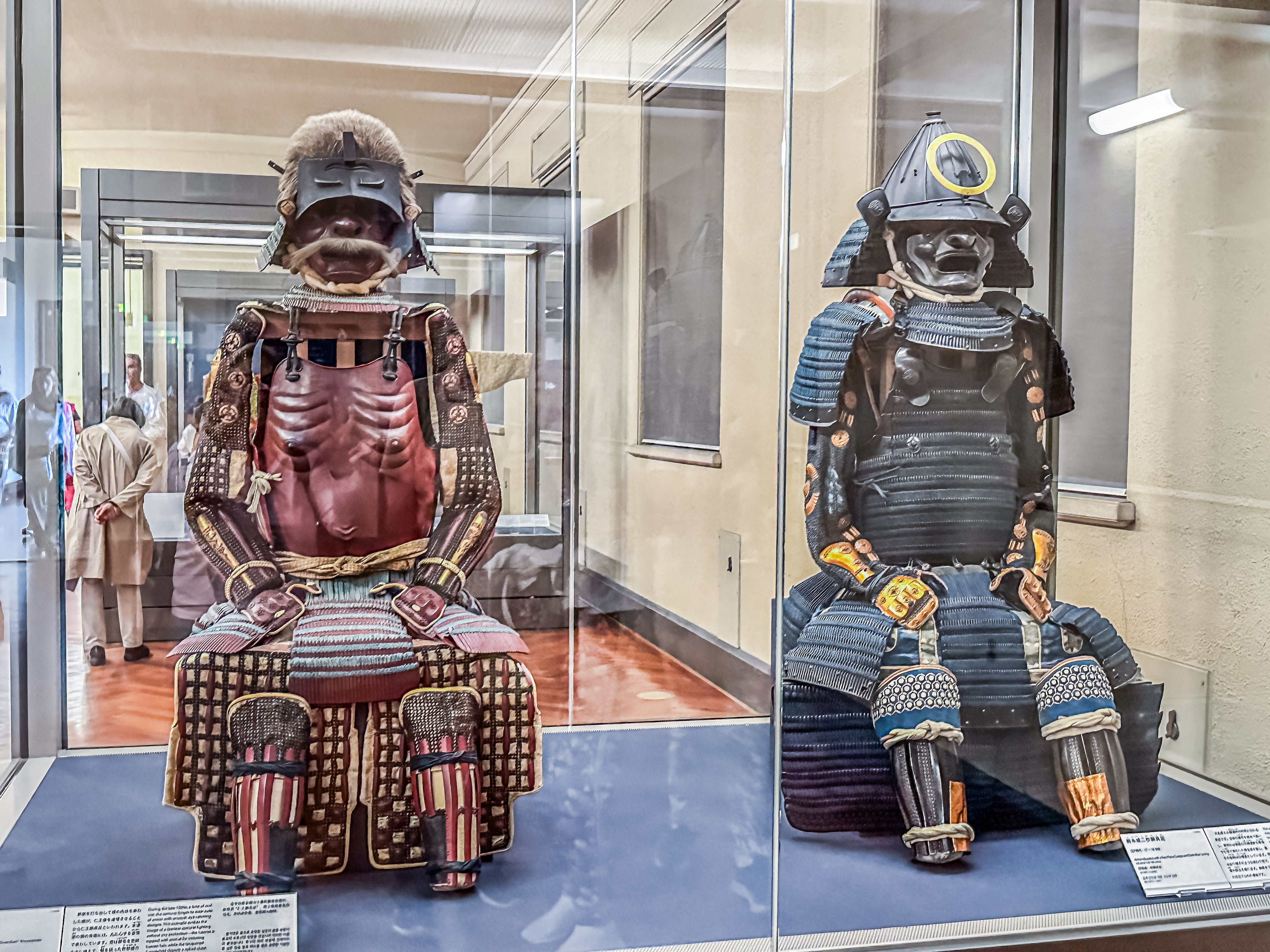
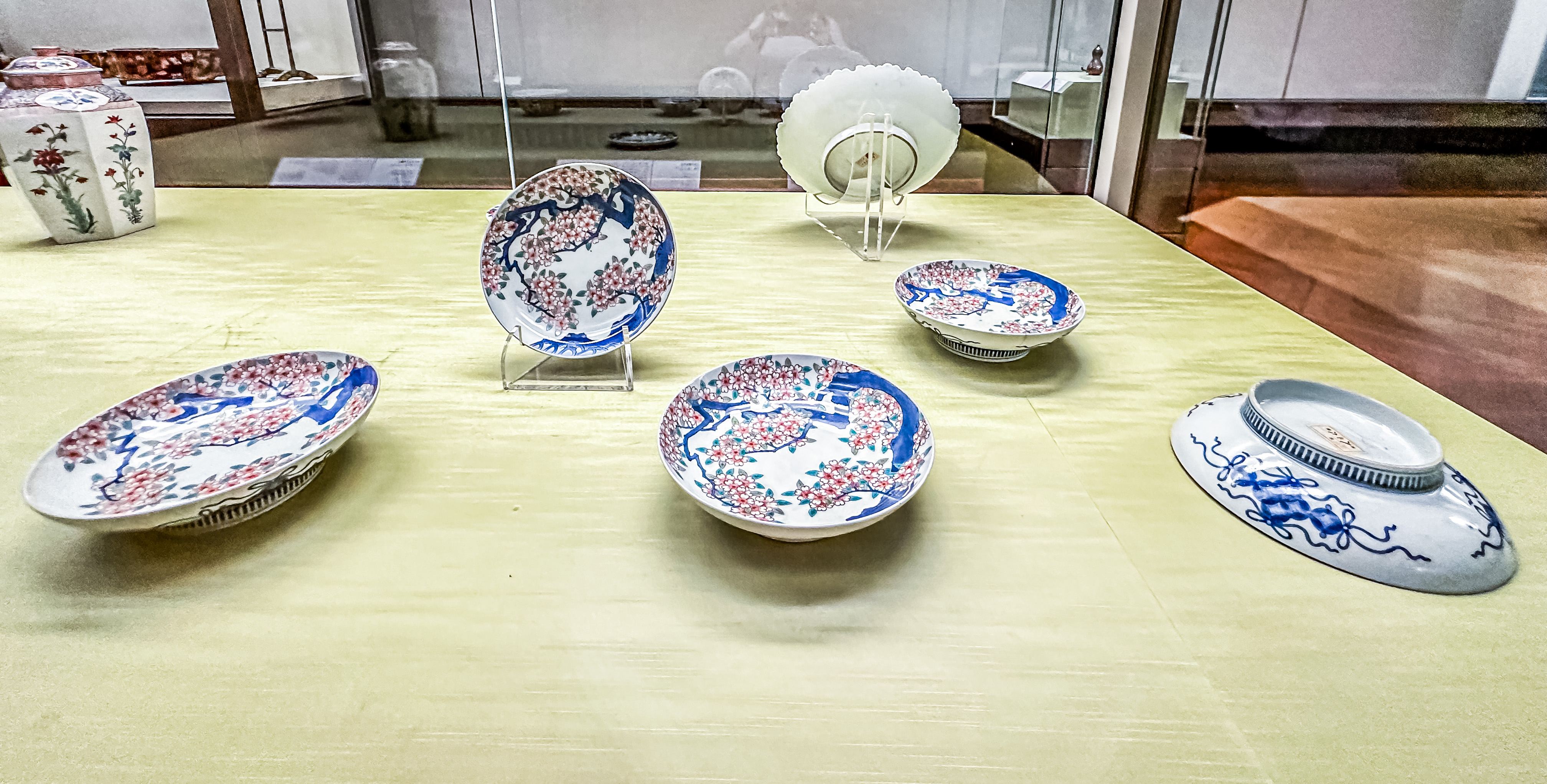
We passed into the inner bailey (honmaru) where the main castle buildings were located. There were some cool exhibits inside the castle, including various Japanese craft items, from carved wooden ducks to a kimono, and an exhibit about all the steps involved in the traditional art of lacquering wood, such as the beams and furniture in the castle. There was also a terrific scale model of the whole castle complex.  As like all the others we have visited, the views from the top floor were killer!

We enjoyed the grounds again, and saw the best floral exhibit of the show. Then we headed back to the ship. 

Old Capitals; New Discoveries

April 4, 2024:

The Gringos enjoyed another fun and fulfilling day of explorations on April 4, 2024, while still based in Kobe. Our travels for the day took us out of Kobe and to both Nara and Ōsaka.  As is usual on these tours, our guide felt personally responsible to impart as many factoids about the area as the time on the bus allowed.  For example, did you know that Nintendo was born in Kyoto, and the headquarters of the company are still there?  Or that in addition to Kobe beef, Kobe is famous for its sake, brewed from clear mountain waters? As we drove, except for a fleeting glimpse of Ōsaka Castle, all the buildings we saw were very modern high rises. That is because in Kobe and Osaka, most of buildings are new since a devastating earthquake in 1994 leveled the towns.

Ōsaka Castle

Ōsaka was only about half an hour away, and many working people who work in Ōsaka commute from Kobe, where rents and home prices are much more affordable, although still expensive. Nara was about 20 minutes beyond Ōsaka.  When Jim and I first booked this trip several years ago (only to have it deferred twice by COVID), the cruise company was not offering excursions to Nara, but we planned to go there on our own via bullet train and bus from Kyōto. However, in the meantime, Nara was discovered by the Instagram crowd, and when we booked our excursions for this cruise, we were happy to see both Nara and Ōsaka Castle offered together as an excursion!

Nara is a very interesting place, in that it has both a national park, where Japanese deer wander freely among its cultural buildings, and something like seven different temples/shrines because it was the place where Buddhism took root in Japan. In Nara, there are deer everywhere, and they are protected. Legend has it that a god came to town riding a deer. 

Temple Guards

It was also the imperial capital from 645 to 744 A.D., (when the capital was moved to Ōsaka (briefly), because the Buddhist monks in Nara had started interfering in Imperial Court politics).  We didn’t visit all of the shrines, but we did visit the oldest and most important temple: Tōdai -Ji Temple in Nara, originally built in the 8th century. It has a huge Buddha statue (about 50 feet tall).  We also had to take frequent photo stops to feed the deer, who were adorable (and somewhat spoiled).

Main gate to enter the Tōdai -Ji Temple
Inside the temple complex, looking at the Great Buddha Hall

The Shrine was lovely, and it is dedicated to one of the many incarnations of Buddha, in this case, as the god, Kannon. The founder of the Canon camera company was a devout believer in Buddhism, so he named his company after that incarnation of Buddha.

The Great Buddha
The goddess Kannon
Komokuten, one of the temple guardians
Another guardian
Scale Model of Great Buddha Hall
Scale model of entire temple complex. There were once two pagodas, but only one remains.

Jim and I wandered around the temple grounds and the park, and delighted in all the blooming cherry trees. April is not only the traditional cherry blossom season, but also the beginning of the fiscalsurronding the exterior of the building.  year and the school year, . So the cherry blossoms represent a new beginning.  The whole morning was just magical, although we had to sacrifice going to Kyōto to visit here.

We left the main Nara Park but our guide took us to yet another shrine within Nara; the Kasuga-taisha Shrine. There was almost no signage here, so once again, I had to read up on the site from Wikipedia. “

“Kasuga-taisha (春日大社) is a Shinto shrine in Nara It is the shrine of the Fujiwara family, established in 768 CE and rebuilt several times over the centuries. The interior is famous for its many bronze lanterns, as well as the many stone lanterns that lead up the shrine.

The architectural style Kasuga-zukuri takes its name from Kasuga Shrine’s honden (sanctuary). The Torii at Kasuga-taisha is one of the oldest in Shinto and helped influence the style of Torii seen across much of Japan. Kasuga Shrine, and the Kasugayama Primeval Forest near it, are registered as a UNESCO World Heritage Site as part of the “Historic Monuments of Ancient Nara“.” As with most of Nara, the site is within the deer refuge, so the deer wander freely all over the site.

One of the Torii gates in the background
Ancient wisteria trees in the courtyard of the temple
Brass Lanterns

We had lunch in Nara at a popular restaurant. The main style of food here was shabu-shabu , which is a style of Japanese cooking where you are served hot broth, and you add vegetables and thin-sliced meat (in this case, pork) which simmers until done. It was pretty darn good!  There were a lot of small bowls accompanying the meal, with some things we could figure out, like pickled green melon and fish balls, and some we could not. Jim was my taster, and he tried everything, and told me what to steer clear of. I needed no warning to steer clear of the fish balls!

Then we drove to Ōsaka for our second exploration of the day.  The main event was a visit to Ōsaka Castle. Historically, there is some evidence that Ōsaka was very briefly the capital, but the main capital cities were first Nara, then Kyōto, followed by Edo. However, there was an imperial palace in Ōsaka, and we visited its reconstructed buildings and grounds. But Ōsaka was first and foremost an important port and trading town, where all the most important merchants congregated.  After the imperial capital moved to Kyōto, Ōsaka was the most important commercial center in the country.

We had seen a glimpse of Osaka Castle when we drove by on the way out to Nara. But from the elevated freeway, it was dwarfed by all the modern buildings surrounding it. Fortunately, it looked much more impressive from ground level, as you pass though the many gates over the series of moats surrounding it. It looked nearly as imposing as it was in Netflx’ new remake of James Clavell’s book, Shōgun, despite the fact Osaka Castle has been rebuilt 3 times from the samurai period forward. 

The grounds of the Castle were riotous with sakura blossoms.
As with everywhere we visited in Japan, during sakura, there is a real festive air, with families enjoying the blossoms, and tons of shops selling sweets and other treats.

We entered through the massive exterior gates affixed to a massive stone wall. The largest stones were in front at Sakuramon-masugata Square. To protect the front entrance to the Hommaru (Inner Bailey), a Masugata Square surrounded by a stone wall was created inside the Sakuramon Gate. This stone wall was built during the early Edo period in 1624, by Tadao Ikeda, a feudal lord of Okayama, who was ordered to take charge of this part of the premises by the Tokugawa shogunate. The stone in the front is known as Takoishi, literally, an octopus stone, and is the largest stone in the Osaka Castle, measuring 59.43 meters in surface area and 108 tons in estimated weight. The huge stone on the observers’ left side is the third largest in the Osaka Castle, known as Furisodeishi, meaning long-sleeved kimono. 

The Takoishi stone

Osaka Castle was originally built in the 16th century, but it was torn down during the Civil War, and burned down in the 19th century. It was rebuilt for the third time in 1931. We waited in a long line to get up to the top floor of the Castle, where there is an Observation Deck. From the Observation Deck, you can see all of Osaka. 

You have to walk down to see the museum exhibits on the other floors. However, by this time, we were almost out of time on our tour. So I opted to go back down so I could get some photos from the Castle grounds. I’m glad I did, because otherwise,  would have missed this fairy-tale scene!

Large Indian family enjoying their holiday to Japan

Back on the ship, we enjoyed our sail away, although we were a little disappointed not to have had any time to visit Kyoto, and its historical treasures. We decided there was just no acceptable outcome but to return to this magical area again!

Sailing Into Shimizu (in the Shadow of Mt. Fuji)

April 2, 2024:

We sailed away the night of April 1, 2024, on our Japanese odyssey.

These are the ports we will explore in Japan. As you can see, we will visit all four of the major Japanese islands, as well as making a stop in Busan, Korea. Then we sail across the North Pacific through the Okhotsk and Bering Seas to get to Alaska, where we will also make several stops before ending in Vancouver.

As is usual, Jim and I slept like babies aboard the ship, but the seas weren’t too rough for our short trip down to the southeast of Tokyo. We made port early on the morning of April 2, 2024, in the town of Shimizu, which is in the Shizuoka Prefecture.

For our explorations that day, we had two main objectives in mind; to visit the ancient pine groves beside the ocean known as Miho No Matsuba. We have really lucked out with the weather with this trip! Before we left home, it looked like rain was predicted for almost every day of our time in Japan, which is not unusual for this time of the year there. However, other than the day we arrived, we have managed to confound the meteorologists every day, and we have even had some gloriously sunny days. Today was no exception! Although it dawned cool and breezy, the sun was already out by the time we left the ship. All of this boded well, because the major purpose of visiting this coastal pine grove is to see if you can catch views of Mount Fuji.

Our second visit of the day will take us to the famous Kunozan Toshugo Shrine, which is located on the other side of Shizuoka.

Mt. Fuji is officially classified as an active volcano, but it last erupted 300 years ago. Japan is at the boundary of three tectonic plates, on the notorious Pacific Ring of Fire, so both volcanic activity and seismic events are common.

The oldest written record of the existence of the Miho No Matsuba forest goes back in poems 1100 years. After a relatively short drive to the pine forest, we walked out on the adjacent beach. Behold! We were graced with our first views of Mt. Fuji!

Haguruma Shrine
First view of Mt. Fuji
Golden Eagle (?)

The walk through the pine forest was tranquil and fragrant, but the time allowed for this stop was way too long. When you came out of the forest, there was a collection of souvenir shops selling all of the local top products of Shimizu: green tea, carved wooden figurines, and dried seafood.  We bought some tea to bring home to a friend, and then had some spare time on our hands, so we walked to the nearby Miho Temple Shrine. We really just walked around the grounds and admired the cherry trees blooming.  Then we returned to the coach for our second visit.

Miho Shrine

The next stop was really something! We drove into the local mountains to visit the Kunozan Toshugo Shrine, which honors Tokugawa Ieyasu, whose remains are enshrined there on Mount Kuno. 

The area containing the shrine is a giant park, and the drive through the mountains was filled with views of cherry trees blooming all over the adjacent hillsides.

This was hilarious! These are the construction cones holding the line markers to queue for the cable car. Apparently, they wanted you to get the feeling of seeing Mt. Fuji even if it was a hazy day!

To get to the shrine, you have to take a cable car ride (which the Japanese call a “Rope Line”) way down the mountain to the entrance of the shrine, only to climb back up numerous stone stairs to gain access to the various levels of the shrine. Then you climb back down to the cable car station, and wait for your turn to ride back up. 

Just an aside, we have noticed that there are not a lot of accommodations for people with mobility problems. Elevators are few and far between, and usually all elevated sites require climbing numerous stairs (with no ramps being made available). With Japan’s population having such a high median age, we didn’t see how this was a sustainable future for Japan’s tourism industry, regardless how fit the Japanese are as a nation. In fact, most of our tour guides so far have been retired people, with an average age in the late 70’s. There were times I really felt for them as they rushed around trying to herd members of our tours who didn’t hear or follow their directions.

You can see the various levels of the shrine here.

Origins of Kunozan Toshogu Shrine: During the reign of Empress Suiko Kunoji (592-628), a Buddhist temple, said to have been built by a man named Tadahito Kuno, stood atop Kunozan. The “father of Shizuoka green tea,” Shoichi Kokushi (1201-1280), studied there, and the temple flourished for centuries as a destination for great priests.

Kunozan Toshugo Shrine honors Tokugawa Ieyasu, who died in 1616. As I have written before, Ieyasu was the son of a local feudal lord in Mikawa, a part of Aichi prefecture, and was taken hostage by the local lord of Sumpu (the old name of Shizuoka) as insurance for his father’s loyalty. He spend his childhood in Shizuoka, and grew up as a samurai to serve to some influential lords.

Famous painting of Tokugawa Ieyasu after he had been named shōgun.

In 1568, Takeda Shingen advanced into Sumpu (modern-day Shizuoka City), moving Kunoji to its present location of Tesshuji, a temple in Shizuoka’s Shimizu Ward. Seeing Kunozan as a strategic point, he had Kuno Castle built on its hilltop. When the Takeda clan was eradicated, however, Kunozan became the territory of Tokugawa leyasu. He succeeded in uniting Japan and became shogun in 1603. Tokugawa leyasu lived in Sumpu Castle after retiring as shogun in 1605. He is said to have expounded on the importance of Kunozan, even calling Kuno Castle the honmaru of Sumpu Castle. The honmaru was considered the most vital part of a castle.

Tokugawa leyasu passed away in Sumpu Castle in 1616. In accordance with his last will, he was buried here on Kunozan. In 1617, his son (and the second shogun of the Tokugawa dynasty), Tokugawa Hidetada, ordered the construction of the shaden (main shrine building). Kunozan became the home of Japan’s very first Toshogu shrine, of which there are about 130 throughout the country.

Saké offferings to the temple
Prayer Wall

There were many helpful signs, like this one, scattered around the temple complex: “The shaden, constructed in the gongen-zukuri style, is entirely lacquered and painted with bright colors. It was built by Masakiyo Nakai (1565-1619), a master carpenter of the Edo period (1603-1868). In 2010, the honden (inner shrine), ishi-no-ma (connecting room) and haiden (outer shrine), which together comprise the shaden, were designated as national treasures. Other buildings such as the shinko (treasure room), kaguraden (prayer hall) and kor (drum tower) have been designated as important cultural properties.” Unfortunately, there were no corresponding labels in English on the corresponding parts of the shrine.

Tokugawa Ieyasu’s shrine

Many aspects of Kunozan Toshogu Shrine, such as its engravings and dougong bracket patterns, are remnants of the culture of the Azuchi-Momoyama period (1573-1603), while at the same time characteristic of the early Edo period.

The ride up the cable car, and drive back to the ship offered many more breathtaking views of the sakura! From the mountainside overlooking Shimizu Harbor, there were a few more great vies of Mt. Fuji. Stay tuned, dear Readers, as the upcoming days will offer many more glimpses into the glories of Japan!

Piles of timber awaiting export in the port.
Last view of Mt. Fuji from the deck of the ship

Exploring Japan’s Past

March 31, 2024 (Easter):

As I mentioned yesterday, there was not much of a historical nature left in Tokyo after the bombing raids in 1945. Our focus for today’s tours will be on Japan’s history, with a visit to the Tokyo National Museum, and the Senso-Ji temple complex.

Tokyo National Museum

The Tokyo National Museum is the largest museum in the nation and oldest, and contains over 100,000 items. It charts the entire history of Japan, mostly through its artistic arts and artifacts. The oldest arts on display are about 16,000 years old. Buddhism was introduced in 6th century (its came from India by way of China through Korea).

The museum exhibits had this to say:

Japan’s leaders transformed their society by adopting Buddhism and other foreign cultures and practices. Buddhism was founded by Gautama Buddha in ancient India around 500 BC. Later it spread throughout Asia and was introduced to Japan from the Korean Peninsula in the 6th century AD.

In the Asuka period (593-710), people from the Korean Peninsula brought advanced knowledge to Japan. They included monks, scholars, and artisans, who brought technology, scholarship, artistic traditions, and Buddhist teachings. Under the leadership of the emperor and powerful clans, Buddhism began to flourish as temples were built and sacred images created.

In the Nara period (710-794), Japan’s leaders emulated the Buddhist culture that was thriving in China. In the capital of Nara, the emperor oversaw the creation of a giant buddha sculpture at Todaiji Temple, the symbol of a state now unified under Buddhism.

The sculptures, ritual tools, sacred texts, and other works on display illustrate these two periods of rapid change.”

“Buddhism is based on the teachings of Sakyamuni (Gautama Buddha), who lived in ancient India around the 5th century BC. He is called Shaka in Japan. Shaka did not leave any writings for posterity, but many Buddhist teachings were recorded in the centuries after his death. These sacred writings, called sutras, were carefully copied over and over again by those seeking to gain religious merit or have their prayers answered. This practice ensured that copies of sutras were widely distributed and helped Buddhism gain footholds far beyond its roots in India.

In the 6th century, Buddhism was introduced to Japan from Korea together with its sutras. It spread from the imperial court outwards and gradually became the dominant religion in Japan along with the indigenous religion Shinto. The sutras displayed here were often copied or commissioned by members of the imperial court. They hoped their religious devotion would ensure the stability of the nation, the peaceful repose of their ancestors, and their own personal well-being.”

Before that, Japanese practiced Shintoism, which was a worship of  natural elements. However, as our guide told us (with a twinkle in the eye), the Japanese are “flexible” about religion, and found the two religions could be practiced harmoniously.

Japan also adopted the Chinese system of writing ideograms,  but found it very complex, so they simplified it. Once writing was introduced, it was widely adopted by the noble class. A formal part of education for nobles included writing poetry.

“The Arts of Buddhism | 8th-16th century

The beliefs and arts of Buddhism, along with its followers, became more diverse over time. In the Heian period (794-1192), the emperor and court nobility practiced and supported Buddhism. They used their vast wealth to build temples and create images for worship, often in delicate styles reflecting their tastes.

In the Kamakura period (1192-1333), the samurai gained political power, also becoming patrons of Buddhism. They preferred Buddhist art that was clear and dynamic, which led artisans to develop new styles. Many common people also became followers of Buddhism at this time, blending this religion with local beliefs, especially in the Muromachi period (1392-1573).

During these centuries, monks brought new schools of Buddhist thought from China, and developed new schools in Japan based on older teachings. Buddhism also became more integrated with Shinto, the indigenous religion. The paintings, sculptures, ritual tools, and sacred calligraphy on display illustrate this diversity in Buddhism.”

“The Arts of the Imperial Court | 8th-16th century

After emulating China for generations, the imperial court began to develop its own cultural identity around the 10th century. This movement was led by the court nobility serving the emperor. The body of work they produced – literature, calligraphy, painting, and elegantly decorated items for daily use – became one of Japan’s cultural foundations.

Even after the samurai gained more political power than the court in the 12th century, the court remained the home of high culture for centuries.

The different art forms of the court were closely related, with literature playing a central role. Previously the nobility wrote in Chinese, but the creation of a new writing system (kana) helped Japanese literature to flourish. Both noblemen and noblewomen wrote some of Japan’s most celebrated poetry and stories, including The Tale of Genji by the court lady Murasaki Shikibu. Scenes from literature were also shown in paintings and on furnishings, which the nobility commissioned for their mansions.”

“A marriage has been arranged for a mouse and a princess who met each other at Kiyomizudera Temple.” And thus, the traditional underpining of Animé was born.

“Zen and Ink Painting | 13th – 16th century

Zen Buddhism was introduced from China, and had widespread influence on culture in Japan. Zen does not stress elaborate rituals or the study of sacred texts. Rather, it teaches that meditation and daily tasks, even cooking and cleaning, are the way to spiritual enlightenment. In the 13th century, monks brought Zen to Japan as a complete school of Buddhist thought.

These monks also brought the latest cultural practices from China. One of them was ink painting, which uses expressive lines and delicate gradations to portray nature and people. Ink painting spread beyond Zen temples and became a major artistic tradition in Japan.”

“Another practice was calligraphy by Zen masters, which was prized for its spiritual and aesthetic value. Along with the painting and calligraphy shown here, Zen Buddhism influenced tea ceremony, garden design, and many other forms of art.”

“Tea was introduced in 12th century from China, adopted first by priests because their formal training is so arduous that they needed the caffeine to stay awake to study. Tea ceremonies became very elaborate, often lasting several hours.“

“Arms and Armor of the Samurai | 12th – 19th century

The samurai ruled Japan for nearly 700 years, from the late 12th to the 19th century. They emulated the imperial court, which was the home of high culture, but also borrowed from the practices of common people. Wishing for divine protection in this life and salvation in the next, they worshipped both Shinto and Buddhist deities. The culture of the samurai was complex and ever-changing, but always reflected their authority as the warrior class of Japan.

This gallery focuses on the most prominent symbols of samurai authority: swords, armor, and other military equipment. These had many purposes. Through diverse colors and materials, they showed the tastes of their owners. Differences in shape and construction reflected differences in rank and social standing. Many samurai passed down this equipment as heirlooms, while high-ranking samurai exchanged it as diplomatic gifts. Swords and armor were also donated to Buddhist temples and Shinto shrines in prayer for victory in battle.

This is a deluxe version of a haramaki (“belly wrapper”), a snug-fitting armor designed for ease of movement. Its previous owner is unknown, though it was likely custom-made for an elite samurai. The multicolor silk lacing connects individual plates of armor, forming a flexible protective covering.”
Saddle & Stirrups with images of scrolls-19th century

“Technique and Beauty in Clothing Design

This section often displays clothing made for women of noble or samurai families. In the 17th-19th centuries, most clothing had similar shapes, but the fabrics and designs varied by season. The clothing on display here is changed regularly to reflect the seasons.

Lined robes were typically worn in the cool months of spring and autumn. Unlined robes made of ramie, a fabric similar to linen, or silk crepe, a light crinkled fabric, were preferred in the summer. Artisans decorated these fabrics with labor-intensive techniques like embroidery and resist dyeing. In the coldest months, women put on outer robes padded with cotton. The dry winter air also caused fires to spread quickly in the city of Edo (Tokyo). For these emergencies, they wore fire-resistant clothing, which was also decorated. During the New Year, they slept under robe-shaped quilts with designs thought to ward off evil and bring good fortune.”

“This kimono was designed for a young woman of the samurai class. The waterfalls on the surface are colored with a synthetic pigment called Prussian Blue, which was first imported to Japan in the mid- 1800s. Other decorative motifs include the peony, considered “The King of Flowers,” and the peacock, “The King of Birds.”

“Produced for the shogun and samurai lords, Nabeshima porcelain is characterized by technical refinement and skillful designs. Here, blooming cherry trees bend their branches dramatically, echoing the shapes of the dishes. Each blossom was outlined twice by hand, first with cobalt blue and then with a pigment called “floral red.”

“Calligraphy about Spring

For hundreds of years, traditional poetry in Japan has been composed in both classical Chinese and classical Japanese. These poems often took the four seasons as their main theme, and this exhibition focuses on calligraphic works of poetry centered around spring and cherry blossoms.

Additionally, this exhibition also features calligraphy that invokes the famous Orchid Pavilion Gathering from Jin-dynasty China (265-420). This landmark cultural event, which took place on the third day of the third month of the lunar calendar, saw a group of elite Chinese poets coming together to compose poetry. It is also known for the preface that master calligrapher Wang Xizhi composed to introduce the poetry anthology that was borne out of this gathering.

The Tokyo National Museum is on one end of Ueno Park, which is the largest park in Tokyo.  It acts rather like Central Park in New York, and was originally established as part of the Meiji Temple complex, which we will visit tomorrow.  

As you may have noticed from yesterday’s post, we had a bit of a heat wave in Tokyo, and the sakura (cherry blossom season) has finally started. Although the cherry trees weren’t anywhere near full bloom yet, we got to see some families enjoying the Japanese tradition of hinami– cherry blossom viewing parties.  We left Ueno Park for the nearby Asakusa area, which is the cultural heart of Tokyo. 

Friends enjoying Hinami

We visited the oldest temple in Japan, Senso-Ji,  in the Asakusa area of Tokyo. It is Tokyo’s oldest-established temple, and one of its most significant. It is dedicated to Kannon, the bodhisattva of compassion. Structures in the temple complex include the main hall, a Five-story Pagoda and large gates. It is the most widely visited religious site in the world with over 30 million visitors annually. The temple was destroyed during a 10 March 1945 firebombing air raid on Tokyo during World War II. The main hall was rebuilt in the 1950s.

We entered through Nitenmon Gate (East Gate), but the main gate is the Kaminarimon Gate (Thunder Gate), guarded by lightning and thunder. It has a huge red lantern.

Nintenmon Gate

There is a charming story about the founding of the temple. In 628, Japan’s capital was at Asuka (present-day Nara Prefecture) and what would become Tokyo was still mostly uninhabited grasslands. Two fishermen, Hinokuma Hamanari and his brother Takenari, were on the Sumida River one day when they heard a command from the heavens to cast their net. When they brought the net up, they saw that they had caught a golden statue of Bodhisattva Kannon.

Hearing of this from the Hinokuma brothers, village headman Haji Nakatomo decided that he would become a devout believer in Bodhisattva Kannon. He took vows as a Buddhist priest, remade his home into a temple and spent the rest of his life practicing Buddhism. This episode marks the birth of Tokyo’s oldest temple and the start of Senso-ji’s history.

The Main Hall/Asakusa Shrine

In 645, the renowned Buddhist priest Shokai visited Asakusa and built a hall for the worship of Bodhisattva Kannon; that makes him the actual founder of Senso-ji. After having a mysterious dream one night, Shokai decided that Bodhisattva Kannon should be hidden from human view, and it has remained so ever since. Word of blessings bestowed by Bodhisattva Kannon spread far and wide, and many people who had heard of this came to worship at Senso-ji from all over Japan. As a result, Asakusa flourished and grew into a large district. Asakusa Shrine is dedicated to the three fishermen. Parents bring children ages 3,5, & 7 to celebrate turning points in their lives; to pray for their happiness in November each year.

Over the intervening centuries until today, Senso-ji has remained a center of culture and worship in Tokyo. It continues to be very influential in people’s lives, and with millions of people visiting it every year, it is one of Japan’s most familiar temples.

Senso-ji and Asakusa are intimately linked. The two names are written using the same Chinese characters (i) but pronounced differently, “senso” being the Chinese pronunciation and “asakusa” the native Japanese pronunciation.

The Senso-Ji temple complex was just eye-candy that day!  Whole families had come out (many traveling from afar) to see the temple during cherry blossom season. In addition to the riotously blooming cherry trees, there were scores of young women and men (and even children) dressed in traditional Japanese attire!  In the Saskusa area, there are numerous shops where you can rent the entire ensemble.  The visual effect was just breathtaking, even if it meant that the site was incredibly crowded, and you often had to wait your turn to photograph the really picturesque parts of the complex.

Hozomon Gate and the Five-storied Pagoda

Next, we walked over by the five-storied Pagoda, which contains the ashes of Buddha. In India, Nepal and Sri Lanka, stupas are the religious buildings used to store relics of Buddha. However, in China and Japan, Buddhists developed pagodas to hold Buddha’s relics. This is another of the best recognized structures within the complex.

Everyone wanted their photographs taken in front of the Five-storied Pagoda

We walked through the Hozomon Gate in the middle of the complex, and into a long narrow shopping arcade (Nakamise) absolutely jam-packed with people. In addition to many shops selling all manner of sweets (including the hard-sugar encased fruit snacks on a stick which are a traditional treat at this time of year), there were games of chance, a few bars, and basic souvenir shops.

Hozomon Gate
The Nakamise
Special sakura treats.

Once we were through the Nakamise, we were staring at the Thunder Gate.  It was impressive, but hard to get a good view because of the hundreds of people streaming through this main entrance to the temple complex.

Thunder Gate

Jim and I walked around a while longer before it was time to go, mostly admiring all the cherry blossoms, and enjoying the people-watching.

For our final night in Tokyo, we opted to eat at one of the many restaurants withing the Tokyo Hilton Shinjuku. We chose to eat at the Chinese restaurant, Dynasty, mostly because they serve authentic Peking Duck every night.  We really enjoyed the meal (and the relative peace and quiet of the hotel.

Peking Duck
Peking Duck wrapped in Mandarin pancakes
Cashew Chicken

Please stay tuned, dear Readers, because tomorrow, after we do some final sightseeing in Tokyo, and then board our ship, the Regent Explorer, which will be our home for the next four weeks as we continue our explorations of Japan!

Jumping Into Jaipur

March 23, 2024:

Dear Readers:

The Gringos are on the road again; this time on an epic journey which will take us from India to Japan, across the Bering Sea through Alaska, and ending in  Vancouver, B.C.

After 32 hours of travel, we landed yesterday afternoon in Jaipur, India (called the “Pink City”, because of all of its pink architecture). The city is divided into the old and new parts. The old part refers to the ancient communities which grew up around the Amber Fort atop the Arawali hills surrounding Jaipur.  The new part refers to the sprawling metropolis down in the flatlands which was established in 1727 by the Maharaja of Jaipur in 1727.  Today, Jaipur’s population is 4.5 million people.

As we drove from the airport, in the center of town, we saw huge ornamental structures which act as gates to a huge Central Park. Our first view was of the rear gates, before we went around the park and saw the very elaborate edifice called the Patrika Gate. This park and the Patrika Gate are right next to our hotel for the next couple of nights, the Taj Rambagh Palace. The hotel’s buildings and grounds are still owned by the Maharaja of Jaipur, but leased to the Taj Hotel to run.  Adjacent to the hotel are the polo grounds, and many of the Maharaji have been world class polo players.

Patrika Gate

As we walked to the hotel, we were greeted by a cloud of rose petals thrown; over us and given jasmine leis. The whole interior of the hotel is perfumed with a floral room scent, . We had a tour of the grounds, which were stunning, with gardens, fountains and peacocks on the lawn. The whole effect was very exotic, but magical.  Jim and I finished the day with dinner at one of the many restaurants on the property, called “Steam” because one of the dining rooms is in a converted railway carriage.

Hotel guests enjoying high tea while the peacocks grazed on the lawn.
Hotel workers creating flower mandalas for Holi.
The hotel by night
“Steam”

After great sleep last night, we woke up this morning and enjoyed a great breakfast in our hotel. Our hotel still belongs to the royal family of Jaipur, but after Indian independence in 1947, they no longer have any control over the government. Nonetheless, they appear to still be very influential (and rich).

“Our Lady of the Aggressive Schedule” has planned a doozy of a day today; our only day in Jaipur! Jaipur is actually two distinct cities; there is the old city, which is about 10 km outside of town and consists of the Amber Fort and the town surrounding it. The New City was a planned city, and was the first planned city in India. Construction began in 1727, by the Rajput ruler of Amer, Maharaja Sawai Jai Singh, who ruled from 1699 to 1743. The term “Sawai” is a term of respect connoting that the person with that title is unusually intelligent and learned (in Vip’s terms, a “super brain”) and Jai Singh clearly qualified as one! The move was necessitated by the growing population, and the increasing scarcity of water. When he moved to create the new city which became Jaipur, he also built a new palace and a royal observatory. We will be seeing all of those sites today. 

But first, we made a stop in the new city to see the Palace of the Winds.  Our guide, Vip, was very knowledgeable and connected. He told us the best views of the Palace were on the roof of a building across the street. We entered up a long flight of stairs into a nondescript entrance and then went  into the Tattoo Cafe. From its roof patio, you can see the Palace of the Winds, but also, the New Palace, the Tiger Fort atop a local hill, and the Ganesh Temple atop other hillside. The Palace of the Winds is right in the middle of the bustle of the Pink City. VIP told us the women of the Maharaja’s household used to like to stay there to watch what was going on, and the cunning design of the Palace allowed them to watch from their cantilevered windows while being sheltered from view of the people below.

The Palace of the Winds
Behind the clock tower is the New Palace, and the Tiger Fort is behind it
The Ganesh Temple
See how the Palace cantilevers out?

If you’re wondering how Jaipur came to be known as the Pink City, it happened because during the rule of Sawai Ram Singh II, the city was painted pink to welcome Albert Edward, Prince of Wales, in 1876. It proved so popular that many of the avenues in the Jaipur are still painted pink.

We then made a quick stop at flower and veg market. Here in India, everyone is preparing for Holi, the festival of colors. During the festival, people pelt each other with colored powders, as well as tossing flowers, leaves and flower petals. As you can imagine, this made the flower market particularly hectic, as Holi is on March 25th this year (in just two days). The Holi Festival begins with people making fires out of dried cow dung, and plenty of vendors had rings of the dung for sale. We saw both the wholesale and retail markets. The retail flower vendors just buy from wholesalers across the alley from where they are selling retail. Some people buy vegetables from the wholesalers and sell them door to door to housewives in the neighborhoods.

The vegetable market
The wholesale flower market
Colored powders for Holi
Dung rings for the Holi fires

Our next visit was to the Amber Fort (pronounced Amer), which was built in the 1100s. This is a UNESCO World Heritage Site, and is a huge hilltop complex consisting of the Amber Palace (Amber Mahal); the fort complex, which housed 8,000 soldiers; and the town surrounding the fort. The whole thing is surrounded by the Great Wall of Jaipur, which runs 12 kilometers. This whole area comprises what is called the Amber City or the Old City. The Amber city about 10 kilometers from central Jaipur.

The Amber Fort and Amber Palace
The Amber Palace

Outside the fort, we saw a step well, which was used until the 1600s. These wells were about 200 meters deep, and were a popular design for constructing wells in India.  The steps allowed people to continue walking down to the water level as the level dropped or rise with seasonal fluctuations.

The step well
The town with the Amber Palace above
The main entrance gate to the Palace

The Palace itself is divided into four parts: 1. The stable area where the horses and elephants were kept; 2. The Hall of Reception, where the Maharajah received dignitaries and visitors; 3. The Royal residences (separated into summer and winter quarters); and 4. The Women’s quarters (which many consider the most beautiful part of the Palace).

The great courtyard through which you enter the Palace area. It was called the Jaleb Chowk, which means a parade ground for soldiers where the Maharaja could review his troops. The stables are behind the elephants.

The Reception Hall was a great colonnaded building, which incorporated both Islamic (Mughal) and Hindu architecture.  But in my opinion, one of the outstanding features of the Palace is the Hall of Mirrors outside the private quarters of the Royal Residences! We ended our tour with a trip through the women’s quarters which featured a Turkish hamman-style bathing area. There was a private corridor used only by the Maharaja to visit his women, and the Maharaji apparently loved the hamman area.

The Women’s Quarters
Hall of Reception
Architectural details in the Hall of Reception
In the harman.
The private quarters surrounding the inner garden
The interior courtyard in the women’s quarters
An ancient air cooling system
First view of the Hall of Mirrors
The Hall of Mirrors

On our way back to the New City, we stopped briefly to see the Water Palace sitting in the middle of the lake, which was the main source of drinking water for Jaipur when Jai Singh moved the city to its present location.

The Water Palace

Unfortunately, we ran into a huge traffic jam when we discovered that the main road to access the New Palace, and the Royal observatory was closed to vehicular traffic so quickly rented us a ride on a Tuk Tuk, which apparently wasn’t covered by the road ban. This led us on a back road journey so we could experience Jaipur as “the real deal”. Given the plumbing work going on in the sewage system, it was perhaps a little too “real” for us to enjoy.

More vendors selling Holi colored powders
The sewer repairs (yes, that is a man’s arm sticking up out of the water).
???
Common traffic obstacles.
Tractors are also for transportation
More traffic obstacles
Doorway painted in peacock motif
The entrance to the royal city.

Our first stop in the New City was at the Jantar Mantar, Jaipur’s royal observatory. Unlike modern observatories, the Jantar Mantar (also built by Sawai Jai Singh), consists of a collection of 19 astronomical instruments. They are all located outside. This site is also a UNESCO World Heritage site, and features the world’s largest stone sundial. The instruments allow the observation of astronomical positions with the naked eye. These instruments are examples of the Ptolemaic system of astronomy upon which modern navigation was based. Jai Singh started building his astronomical instruments about the time he moved the city.

The outdoor observatory.
The New Palace in the background.
The astrolabe (Yantra Raj)

A cool thing was that he would first build scale models of the instruments to test his calculations about their efficacy. You can still see the scale models (which are fairly large in themselves) alongside the final full-size instruments. Among the instruments we saw were astrolabes, the 12 zodiac signs, and two sun clocks/dials. The amazing thing is that the smaller one (the model) is still accurate to within 22 seconds; and the larger one to within 2 seconds.

The scale model of the sun clock
The full size sun clock

Zodiac signs are extremely important to the Hindus, because in their culture, there is a strong correlation between astronomy and astrology. The latter is vital because if a child is born during the nighttime, the astrological instruments help to determine the child’s zodiac zodiac sign. The determination of the true zodiac sign helps determine the factors for such things as suitability for marriage.  Apparently, there are 36 factors to be considered, and there must be affinity with at least 18 of those factors for a marriage to be considered suitable. As I’m writing this, I can’t believe I’m sitting here saying this in the 21st century, but Vip said most Hindus still take it extremely seriously.

Jim in front of the Sagittarius instrument

We walked over into the grounds of the City Palace, but today, we are not allowed access to the main building because the Maharaja is in residence (you know, because his flag is flying over the Palace). Today, he is meeting with the governor of Delhi, hence the road closure and our Tuk Tuk ride. However, we were able to go to a museum in one of the outbuildings for the Palace, where numerous ceremonial items and attire of the former royal families are displayed. As you might imagine, they were incredibly lavish.

Part of the Palace complex.
The Palace grounds
The Maharaja used to travel with two of these silver urns filled with water from Jaipur when he traveled.
The museum with the Holi fire laid in front.

We also stopped at some craft workshops set aside and patronized by the Maharaja to support various traditional arts. We met with a gentleman who is an awarded artist who paints on rice paper and other traditional surfaces. He showed us his art, and created a small sketch for us.

The art galleries and workshops.

By that time, it was nearly 2:00, and we were famished. Vip had arranged for us to have lunch in a very chic restaurant on the Palace grounds called Baradari. The Maharaja is apparently an investor in this restaurant, and it is well-reviewed. Lunch was lovely, but we were beginning to flag. Note to the wise: if you ask an Indian person is a dish is spicy, inevitably, they will say it is not, but that is to their taste; not mine!

Entry to the restaurant complex

Vip had one final “surprise” in store for us; a stop at a textiles workshop and factory (aka, a shopping opportunity!).  That was fine with me, as Indian textiles are usually quite lovely. We did not give Jim an opportunity to chime in. We were first shown a workshop where they demonstrated the art of block printing on cloth, and I even got to  try my hand at it.  Then, they took us us some weavers who were making intricate woven wool rugs from camel hair. Although they were lovely, Jim and I have no need or desire to buy rugs and have them shipped home. But then we went in to the shopping mecca! Did someone say they do great textiles in India?! There were beautiful tablecloths, placemats, and even garments made to order.  Even better for us,  they  would ship a box to the U.S. for a flat rate!

We made our way back to the hotel using a “freeway”. Even it was not free of animals wandering around. On the way, we saw an elephant decorated for Holi in the traffic lanes, but all day, we’ve had to dodge cows, goats pigs and dogs on the roads. By this time, the jet lag was beginning to set in, and Jim and I were very happy to return to the oasis of the Taj Rambagh!

Since we’d had such a big lunch, we opted to dine more lightly, and after a cocktail in the Polo Bar, ate dinner out on the hotel’s terrace. The evening was lovely, and they even had live entertainment under the moonlight. What a great end to an exciting day!

The Raj and his peacock
Drinks in the Polo Bar

Stay tuned, dear Readers, for the adventures continue tomorrow, as we drive down to Ranthambhore National Park to try to film the tigers there!

A Day in Ålesund

Feb. 12, 2024:

Fun fact:  Ålesund is home to the penny loafer, and the Aurland factory still makes them locally by the thousands. Bass liked them and copied them and copyrighted them as Weejuns (with a sly nod to Norwegians) in the United States. Originally, the coin in the saddle was a 10 ore coin (instead of a penny) , which has the sign of King Hakkon VII on it, so it became a sign of the Norwegian Resistance during World War II, since the King was in exile in Great Britain.

As you may have learned from our earlier posts on Ålesund (Jim and I were here in both 2017 and 2022), the entire town of Ålesund burned down in 1904, because most of the structures in town were made of wood at that time.  Moreover, all the fishing boats were in port awaiting the start of the fishing season, and moored cheek to jowl.

This photo displayed outside a local shop shows the fishing vessels rafted up before the fire. You can see how easily the fire would spread.

At the time the fire started, there were Arctic hurricane winds blowing, and the fire engulfed not only the whole town, but leapt to many of the surrounding islands as well, and jumped across the boats to other sides of the sound.  The fires were raging so fast, the volunteer firefighters quickly decided that saving the structures was a lost cause, so they ran door to door waking residents up to evacuate them. They were so successful that only one life was lost in the fires, although over 800 houses and countless structures like warehouses burned.

To the credit of the town fathers and Norway, which declared its independence from Sweden one year later, the town area around the port was completely rebuilt, but this time around, all structures were mandated to be built of concrete or stone, and to have slate roofs (which made Alta very happy). About 25 young architects from around the country, who had been exposed to the new architectural styles sweeping Europe came to Ålesund, and helped design the new buildings, and the new core of the downtown area was largely built in the Art Nouveau style.

Because this was Norway, though, the buildings were given a certain Nordic flair, with design elements evoking the Viking past. Within three years, the entire downtown area had been rebuilt. Sadly for many poor fishermen, most of them lacked the capital to get any loan for rebuilding, and they were left to poor tenement style housing. Even you could qualify for a loan, the banks would only loan 75% of the construction cost, and usually required a mortgage on your fishing boat as collateral.

As a result, the downtown core is a charming collection of Art Nouveau buildings, and I opted to take a walking tour to discover more of them.  Jim had stayed up late to watch the Super Bowl (which didn’t start until 12:30 am this morning our time), so he was in no shape for a morning walking tour, particularly after his Niners lost.

The last time we were in town, it was the middle of summer, and the patio in front of the building in the center (a bar/restaurant) was full of people enjoying the Scandinavian summer.
The reason the people on the bench are smiling is because the bench is heated!
Everywhere you go in Norway, you will find trolls.

I really enjoyed being out in the crisp (but tolerable) breeze, since the local temperatures were in the middle 30s F.  I even saw several glimpses of sunlight, although that caused the ice dams on the roofs to warm up enough to break off and fall on unsuspecting bystanders. Local merchants lean two X 4s against their shops to warn pedestrians not to walk too close to the buildings.  The architecture was lovely, and our local guide, Per, had the typical very dry Scandinavian sense of humor. But he also was quite informative, and I managed to learn a few new things about Ålesund I hadn’t learned in our past visits.

Leaning 2x4s tell you to beware of falling ice.
Exhibit “A” as to why continental Norway no longer has polar bears. I’ve lost count of the number of stuffed ones I’ve seen displayed in shop windows.
The building on the right is apparently the narrowest house in Europe. Purportedly, it was built rather fast, and the builder forgot to install a staircase, so all access to it is through the shop on the left.
Lovely manhole cover!
Example of some of the Norwegian design elements incorporated into the Art Nouveau style.

For example, we stopped in front of a shop selling traditional Norwegian costumes which are called Buden.  As you can see, they differ in many ways from the Sámi attire we saw further north, but there are some stylistic similarities, at least with the women’s costumes. The male attire  for the Sámis looks much more like traditional Inuit styles.

Also, we stopped at a statue on the shore in front of the Sound which commemorated the exodus of Norwegian citizens from Ålesund to the Shetland Islands at the beginning of World War II.  Unlike Alta, Tromsø, and Narvik, Ålesund had no strategic value to the Germans being just a poor fishing town. So in the first month after the occupation by Germany in 1940, Ålesund served as a gateway for escaping Norwegians. In all, over three thousand Norwegians fled from Norway in small fishing vessels in the first month following the German occupation. Over seventy of them died at sea, but it was a great feat nonetheless.

The exodus statue.

After the tour, I stayed in town to wander around a bit. Jim later tracked me down using my Find My Phone feature on my iPhone, and we enjoyed the day in Ålesund.  The skies started scudding over, and it looked like stormy weather was coming in, so we returned to the ship, where I captured a few pictures of the Ålesund skyline. This really is a lovely time, and I enjoy it  more each time we visit. I have to say, though, even with the dramatic snow-draped mountains ringing the town, I much prefer it in the full sunny days of the summertime!

Views our the fjord from the top deck of the ship.

Alta: the Land of the Northern Lights

Feb. 7, 2024:

After a late night last night, we slept late this morning, and partook of a late breakfast eating Norwegian waffles onboard. By the time we woke up, the sun was just coming over the mountain surrounding the port of Alta (at 10:00 a.m.!).  Fortunately, our excursion during the day today didn’t start until 1:00 in the afternoon!  Which was good, because it was a frigid 10 degrees outside (and that was the high for the day)!

Alta is the main town in the northernmost Norwegian County of Finnmark, with a total population of 70,000 people, 20,000 of whom live in town. But since we are in the heart of Sámi country (whose traditional pastime is reindeer herding), there are 180,000 reindeer. The Kven people (pronounced “kanne”) are Finnish descendants of workers in the fisheries and mines in the 1800s. As we mentioned yesterday, the indigenous people are the Sámi. Many live up in the plateau lands near the Russian and Swedish borders; and many are traditional reindeer herders. 70% of the people in Finnmark have Sámi ancestors.

There is also an airport here in Alta, which gets several flights per day. However, all the flights only connect within Norway, and Oslo is a two hours flight to connect to the rest of Europe.

Unlike Tromsø, which basically sits on a strait running between the island and the Norwegian mainland, and never freezes over; Alta is at the mouth of the the Alta River, which is frozen over now, and will remain that way until late April or May. Numerous rivers cross Finnmark, and most of them empty into the sea. For that reason, salmon use the rivers to spawn, and Finnmark is considered one of best salmon fishing areas in the world; especially the Alta River.

Alta claims the title of the City of Northern Lights. The season for the Northern Lights is from the end of August until March. Our guide (a transplanted Irishman) told us that in his opinion, some the best Northern Lights viewing is in October and November, when the temperatures are much milder, and the Lights tend to be better closer to the equinoxes. 

Alta is located seven hours north of the Arctic Circle, and it is the same distance from here to Berlin as from here to the North Pole! The town of Alta just came out of the polar night, so the residents saw sunlight the first time on Sunday morning (for the first time in 10 weeks)! At this high northern latitude, they gain one hour of sunlight per week. By the time they reach May, there are two months of uninterrupted sunlight (from the end of May until the end of July). 

Sadly, the town of Alta  and all its surrounding towns and settlements were completely destroyed by the Germans at the end of WWII because of its strategic value for the transport of many raw materials used in the manufacture of industrial goods. Even the livestock were destroyed, because the Germans wanted the Russians to have nothing to survive on when they retook the German-occupied areas. Consequently, many towns in Finnmark were never rebuilt post-war. The destruction was so complete that even churches were burned to the ground, with the exception of churches whose graveyards surrounded the church buildings, so only about three churches in the whole county remain from the pre-war era. The center of Alta was purpose-built in a new location (up on the bluff surrounding the town, instead of down by the water) after the war. Today, it is the only town in Finnmark which is growing. 

In addition to the Northern Lights, and the great summertime activities,  Alta is famous for the thousands of rock carvings discovered here dating from Stone Age (between 7,000 and 2,000 years old). There have been inhabitants in this area for 11,500 years. There are about 3,000 rock carvings, most of which are left in the open so the snow protects them from damage caused by freezing and thawing ice. Alta was obviously the former site of multiple trade crossroads, and artifacts have been left which establish this. Alta is the only UNESCO prehistoric site in Norway. Our prime objective for the daytime is visiting the Alta Museum, which has numerous examples of its stone art, as well as good exhibits about the Sámi culture and the industrial age of Alta.

Ceremonial headers of the Sámi people.
For thousands of years, the last little bear followed its mother, but then the broken piece of stone was lost (so long ago, the tale of the third little bear was forgotten). Finally, the slab turned up in the basement of a school in Finnmark, and the slabs were reunited.

In the modern period, Alta became the site of a huge mining area. Its most famous export is slate, and most of the homes in Norway with slate roofs have slate mined in in Alta. In the port area, you can see huge bulk container vessels exporting Alta slate all over the world. However, as the Industrial era progresses, Alta also became famous for mining tin, then copper, and nepheline syenite (used in glass, porcelain, ceramics and paint). The tin and copper mining operations were made possible by huge investments from the British, and developed into a world-class mining operation post-WWII. Fun fact: one of the biggest investors in the Alta mining operations was Lord Carnarvon, which gave him the wealth to fund the search for Tutankhamen’s tomb. 

The museum was fascinating, and a welcome activity on a day which did not warm up past 3 degrees F.  Jim and I particularly enjoyed the Stone Age exhibits, but there were also some good materials about the Sámi culture (and the gift shop was particularly nice). When we left the museum, the temperature had dropped, and it was snowing, which did not bode well for our Northern Lights chase later this evening.

Various sites of sacrificial rocks call sieidi along the Alta fjord
Ceremonial drum of the Sámi. The shaman would bounces a gold ring on its surface with each beat of the drum, setting the ring spinning. The symbol it stopped on would tell the shaman about the fate of the person who consulted him.
Traditional tunic of a Sámi man called a Gákti
Traditional fishing gear used by the Sea Sámi

We left the museum to view the oldest building still standing in Alta;  a Lutheran church, called the Old Alta Church.  In fact, it was the only building which survived the destruction of Alta, because it was a church with graveyard surrounding it. The church was opened in 1858, and the roof is slate. It is the first building commissioned to have a roof using Alta slate. Parts of it have been rebuilt several times, but the most recent was in the 1970s. Today, it only seats about 200 worshippers, because most Norwegians today are very secular. Alta also has the Cathedral of Northern Lights, which was built in 2013, and is now the main church in Alta. However, this church is still in use (particularly by older citizens whose religious lives took place here).

The old Alta Church
Most of the tombstones were lit with permanent lights so they didn’t have to sit in the dark during the long polar night.

Of course, no visit to Alta is complete without viewing the Cathedral of Northern Lights, so we did a drive by of its exterior. The titanium cladding is particularly imposing, and was designed to look like a swirl of Northern Lights.  However, if you want to see the interior, be aware that it is only open to the public from 11-1 during the week.

The new Alta Cathedral of the Northern Lights

We got back to the ship and sorted ourselves out because we were planning to go searching for the Northern Lights later this evening, this time was a Viator company called Alta Adventures. Since we remain in port overnight, at least we know we won’t have to cut the chase short to return to the ship. We ate an early dinner, and bundled up in multiple layers. Our weather apps were telling us that it was -1 degree F. and felt like minus 16F.

We drove first along the southern coast hunting for the lights, but had no luck.  We did see another church which escaped being burned by the Germans, though.

The abundance of stars boded well for finding the Lights.

Then they took us up into the mountains to the east of town, and set us up a little camp, including a fire and stools with reindeer skins. However, almost right away we could see the first glimmers of the lights, and the show got better!

We were in a really pretty valley overlooking a lake, but it was bitterly cold.  For once, we could see the Lights with our naked eyes. Sadly, though, somehow my camera got out of focus, and even with a headlamp, I could find the focus again. But even the most out of focus pictures shows the curtains of light and some of the amazing colors we saw.

All too soon, it was time to head back to the ship, but we will remember these sights for the rest of our lives!

Living La Vida London

The Gringos are off on another adventure; this time in fulfillment of one of our bucket list trips — to see if we can experience the Northern Lights.  We’re booked on a Viking cruise, which was supposed to sail from London to Norway up above the Arctic Circle. In fact, we’ve had this trip booked for over three years, but when the Omicron phase  of COVID reared its ugly he’d, we postponed the trip from 2022 to now.

Jim and I flew into London on Friday, Feb. 3, 2024. Although we had heard some vague reports about some ports on the preceding cruise being canceled for bad weather, we had no idea how bad it was. In fact, Norway was buffeted by an Arctic hurricane called Storm Ingunn. which brought the worst weather to its shores in decades. There were winds over 100 miles per hour, and the seas were reported to be 60 feet. Our cruise ship had no choice but  to take shelter in the port of Tromsø for  several days while Ingunn blew herself out. Naturally, this completely messed up the ship’s schedule and made it impossible for the passengers to board our cruise in London. Instead, Viking chartered several flights to get the passengers from the last cruise back to England, and to transport us to Tromsø for our adjusted itinerary.

While we have no idea how this trip will really unfold, we are very grateful to have missed Ingunn, and to have some opportunity to see the Northern Lights, which the weather last week prevented for the prior cruisers.

In the meantime, the Gringos have enjoyed three days in London, revisiting some of our favorite spots and staying at a really lovely hotel in the Mayfair area; Brown’s Hotel.

We arrived about noon on Friday, and after we changed and freshened up, started our stay with a fantastic high tea in Brown’s Drawing Room.  This high tea is regularly on lists of the best teas in London, and we have to say, it really met the mark!

The Drawing Room at Brown’s Hotel
The tower of treats
While this appeared to be a tangerine, it was really a chocolate orange mousse cake. The outside is orange frosting textured to look like peel.

With the time change, and too little sleep on the plane, we made an early night of it.

Saturday was another day of exploration for us. We started the day off by taking the Tube down to the Southwark area south go the Thames to check out the Borough Market. this market has been around for centuries, but is now housed under a glass canopy to escape London”s notoriously bad weather, although we had lucked out in that department. The Borough Market combines lots of fruit and veg stalls with numerous food stalls. sadly, we’d eaten a big breakfast, so we weren’t quite up to eating again, but what was on offer looked fantastic and smelled even better)!  There were even stands devoted to specific national foods like Spanish, Turkish and Croatian. but what there were more of than anything else were cheese stands! So.Much.Cheese!

The Borough Market
The obligatory picture of a fishmonger for our friend, Mark!
Jim eyes the fish and chips longingly, even though we just finished breakfast.
Cheese as far as the eye can see!
Southwark Cathedral right next to the Market. Construction began here in the 600s A.D.
The South bank of the Thames

Our afternoon activity was a visit to the Courtauld Gallery, which is housed in part of the glorious old Somerset House. the Courtauld displays one of the best collections of Impressionist art in the world. For example, Van Gogh’s self-portrait of the man with one Ear is on display, and probably the largest collection of Seurat paintings in the world.  since he died at  age 31, most museums have only one to two of his paintings on display, but this museum has several. Since he is probably one of my favorite of the Impressionists, I was very happy to see them!  The Courtauld also had a current exhibition of artistic interpretations of Manet’s painting, the Bartender, created by teenage artists.

The courtyard of Someset House
One of the rare Monets I’ve seen where the subject was not outdoors.
This was a lovely Van Gogh painted shortly before his death. The subject is peach trees blooming near Arles.
Famous Van Gogh self-portrait of “The Man With One Ear”
Gauguin
Seurat painting of the dancers at the Folies Bergere,n as he was experimenting with the style he called “pointillism”.
Famous Manet painting of a bartender at the Folies Bergere.

We grabbed a bite at a really great wine bar nearby called the Plume, and then returned to our room to freshen up for dinner.

There was a really funny set of couch pillows at the Plume, each one featuring a different famous person dressed in King Charles’ royal regalia, as if Londoners were wishing what their new King really looked like.

Dinner that night was at a trendy London spot called the River Cafe. It featured Roman-style Italian cuisine, which was good, but with a price tag to match its trendiness.  Tummies full, we toddled off to bed.

Sunday brought another clear day to London. Jim and I stretched our legs by walking down Oxford Street toward Marble Arch only to discover Marble Arch was under the cloak of restoration work. Nonetheless, it was a good walk to burn off breakfast. Our main event for the day was to attend a matinee production of the play, “Six”, which is kind of a rock musical about the six wives of Henry VIII, told from their perspective. Each of them is costumed as a rock diva, and the music was incredibly good! Thanks to our friends Shawn and Sylvia for this recommendation. Even though the musical was first aired in 2017, every seat in the theatre was taken.

Inside the Vaudeville Theatre.
The cast taking their final bows.

Since once of our favorite pubs was right around the corner from the theatre, we paid a visit to Mr. Fogg’s Society of Exploration. The bar is decidedly campy, but it remains very popular; so much so that you need a reservation to come in for drinks, and there are now 10 outposts of Mr. Fogg’s in the greater London area.

This machine will make you a Negroni robotically
Drinking an Ayahuasca Wisp at Mr. Fogg’s

For our swan song in London, Jim got us dinner reservations at the Duck and Waffle, another very good London restaurant which made several top restaurant lists in 2023.  We really enjoyed our mean sitting 40 flights up in the new financial district.  We really enjoyed the roasted corn “rib” appetizer, and shared some small plates, including the eponymous “duck and waffle” dish. Everything was very yummy. And just like that, our stay in London drew to a close!

Views over London from our restaurant high up on the 40th Floor.
We’re even higher up than the building Londoners call “The Gherkin”

Stay tuned as the Gringos venture into the Arctic tomorrow!

Buenos Días, Barcelona!

Dear Readers:

I’m just trying to finish up some posts from last year, before we set off again, so here is our day in Barcelona from the maiden voyage of the Seven Seas” Grandeur.

November 25, 2023:

Wow! Today was a non-stop thrill ride!  We docked early this morning (Nov. 25, 2023) in Barcelona, Spain. About 170 passengers got off (the first leg of our journey), and another 170 got on for our transatlantic crossing.  None of the furor of the changeover day affected us, though, as we left the ship about 8 am (right after the sun rose).

It was our first time in Barcelona, and we hired a local guide for the day through ToursbyLocals. Once again, our guide, Francesc, blew our expectations out of the water! Contrary to our normal historical inclinations, we chose to focus mainly on the architectural marvels of Barcelona. In July, 2023, Barcelona was named the UNESCO-UIA World capital of Architecture, and our goal for the day was to see as much of it as possible.

To start our day, our guide took us to the top of the highest hill in Barcelona, Montjuïc, which is on the outskirts of what used to be the city center, and was the site of the former Jewish cemetery. From there, we had panoramic views all over the city, and Francesc had some useful maps to help us see the layout of the medieval city, and the new city, the outlines of which were plainly visible from our hillside perch. We could also see the towers of the Sagrada Familia church (Gaudí’s magnum opus).  We could also see a bullet-shaped building housing the water department, cheekily called, “the suppository” by the locals.  The entire top of Montjuïc is a beautifully landscaped park, which is used all the time by the city residents.

Overview of the Olympic Harbor. Barcelona can accommodate 7 cruise ships in a day!
Statue of Christopher columbus
The Cathedral of Sagrada Familia in the distance.
The Torre Glòries, aka “the suppository”

On our way down the hill, we passed the Museum of Jean Mirò, a famous Catalonian painter. There is an Alexander Calder statue of a flame in front it as a tribute to Mirò.

The Mirò Museum
The Flame by Calder

All along the one side of the hill is the Olympic park, actually built in 1929, but used for the 1992 summer Olympics. One of the coolest things about those games is that as you can see from the pictures, the Olympic flame was high above the walls of the Stadium. The flame was lit by an archer shooting a flaming arrow into the torch for the flame. The high diving pools are also located up there.

The Olympic Park area
The torch for the Olympic flame.
The telecommunications tower built for the ’92 Olympics, designed by another famous Spanish architect, Calatrava.

We also walked over to the National Museum of Catalonian art, which is housed in the Palau Nacional, built in 1929 for the International Exhibition. This grand museum was  was built originally as a temporary exhibit building , but the city fathers then decided to keep it as a permanent museum site. However, in order to do so, they basically had to rebuild the entire thing, including actually building foundations for it. I can’t even imagine the cost! 

Palau Nacional housing the MNAC
Front of the MNAC

From the front of the MNAC, there are great views of the Plaça de Espanya, which was also built for the 1929 International Exhibition. The Four Columns in the foreground were created by another famous Catalan architect, Josep Puig I Cadafalch. The four columns were intended to represent the four red bars on the Catalan flag, which used to symbolize the Kingdom of Aragon.Plaça de Espanya with the Four Columns created by another famous Catalan architect, Josep Puig I Cadafalch. The four columns were intended to represent the four red bars on the Catalan flag, which used to symbolize the Kingdom of Aragon.

Overlooking the Plaça d’ Espanya.

We also passed by a kind of outdoor museum which is intended to be a prototypical Spanish village to represent all the villages in Spain. Outside, we saw this statue. Andalusia has its flamenco dancers, but the Catalan has its own folk dance traditions which a statue in front depicts (that I apparently did not photograph).

The Spanish “village”

Next Francesc took us to an area right outside the medieval walls of the city, which began to become developed in the 19th and 20th centuries in the Modernisme style, which incorporated Neo-Baroque,  Art Nouveau, Eclectic, and Neoclassical styles. The old-time residents of Barcelona (read: old, monied classes) were aghast at what was being built in this area by the nouveau riche. In one famous block in what is called the Eixample district, three of Barcelona’s most famous architects built some fantastical palatial homes for their wealthy clients at the turn of the twentieth century along Passeig de Gràcia.  Critics of the new style buildings called this one block the “Illa de Discòrdia” (the block of discord). Still, it became the Fifth Ave of Barcelona. Antoni Gaudí built two homes in this area (Casa de Batllò and Casa de Pedrera) while his partners, Josep Puig I Cadafalch built the Casa Amaller, and Lluís Domènech I Montaner designed the upgrades to the Casa Lleò Morera on the southern end of the block. In this area, even the street lights have dual purposes, with benches on the bottom made from repurposed broken tiles.  Over 100 years later, we found the designs whimsical and charming!

The block known as “Illa de Discòrdia”
Which looked even more charming with its Christmas lights!
Casa Lleò Morera
The façades of Casa Amatller and Casa Batllò in the middle
The roof of Casa Batllò curved like a dragon’s back
Casa Amatller on the left; Casa Batllò the right
The whimsy of Casa Batllò
Interior of Casa Amatller

Of them all, we found the Casa Milà/ La Pedrera (the stone quarry) the most futuristic. The architecture critics were not happy, and it was reported that the owner was less than enraptured with the final design. Here is a cartoon from the time the Casa Pedrera was completed, likening it to a blimp hanger.

Casa Milà, commonly known as La Pedrera (the stone quarry)
Its chimneys shaped like Roman soldiers’ helmets
Cartoon depicting the building as a blimp hanger.

Then our tour meandered way out of the more commonly visited tourist areas. One of the things we really like about the ToursbyLocals tours is the ability to work directly with the local guides to customize their tours. In this case, Jim and I wanted to continue our explorations of Catalan architecture by viewing one of Gaudí’s later projects, Park Güell (pronounced Park Way). Güell was richest man in Spain, and much of his wealth from the New World, especially plantations in Cuba and elsewhere in the Caribbean. He decided to put his wealth to work building his vision that he was going to build what would be like the concept of a planned community up in the foothills just to the north of town. It would be a holistic community, with children being raised in a relatively bucolic area, away from the grime and air pollution prevalent in the central city.

The original Park Güell was conceptualized to be a separate community on the hillside above the northern outskirts of Barcelona. The planned community would be built on 41 acres, and was to house 40 families; and the project started in 1900, and finished in 1906.

Top of Gaudí’s home
Gaudí designed this covered walkway around this ancient olive tree.
Gaudí’s home
The embellished chimney cap, designed to look like a morel mushroom.
The city has grown up to Park Güell
The lawyer’s house
Gaudí laid this path out, with the stone accents like the beads in a rosary. He walked this path saying the rosary every day.

Ultimately, only Güell, his lawyer, and Gaudi (who bought the model home) lived in the Park. The house Gaudi lived in was not designed by him; he only designed the grounds and the owner’s house, but he made some modifications to the house. But his visions for the grounds were incredibly advanced, and very sustainable. It was part of his design ethic that anything he designed have more than one purpose, and he tried to incorporate natural features preexisting on the land into his designs. Gaudí incorporated elements of nature in the design. For example, his refusal to remove a tree in the way of one of his covered walkways, and chimneys that look like mushrooms. He also devised a water cachement system which channeled all the runoff from the project into a giant cistern which was used to irrigate all the grounds. If the water level got too high, there were spouts with dragons on them which would spout water into fountains. He also reused broken pieces of ceramic for all of the decorative work throughout the project, figuring that the broken tiles would never need to be painted. Nearly everything had at least two or uses, like benches which also captured water diverted into the cisterns.

The commons area laid out for the future intended residents of Park Güell.
The water from all the flat areas collected and was routed into the cisterns, but the gargoyles were a pretty touch.
The dragons which spit water when the cisterns are full

Of course, any tour of the architecture of Barcelona would be grossly incomplete without a visit to the Cathedral of Sagrada Familia, Gaudí’s amazing (and as yet unfinished) ode to Christianity.  2026 will mark 100 years since Gaudí died, and the project managers keep hoping the work will be completed by then, but the locals are skeptical. One of the triumphs of Gaudí’s deign, however, was that he realized that only a small portion of the design would be completed before his death. Instead of leaving an obsessively detailed plan for the remainder, he wisely realized that the future designers should have the latitude to design for their times. As different as the distinct wings of the building can seem, the designers have all managed to remain true to Gaudí’s master vison, while innovating on their own portions, so there is a cohesive whole to the project.  Reams of print have been generated over this work, so instead of trying to explain or detail what we saw, just enjoy the eye candy!  We signed up for an optional trip up one of the towers so we could see the exterior. The circular staircase coming doen was also very photogenic. Then we ended our visit with a viewing of Gaudí’s tomb.

Our first glimpse of the Sagrada Familia.
The level of detail all over the exterior was just mind-blowing.
This side of the Cathedral represents the early years of Christ’s life, starting with the Nativity scene over the entry door.
This side represents the newest side of the Cathedral, and is not finished.
Francesc took us into a shop with an excellent model of what the Cathedral is supposed to look like when finished according to Gaudí’s plans.
After 100 years of building, the contractors are trying to finish the last towers.
The interior of the church looked like a forest to me.
The west-facing windows used cool colors of stained glass as the light of the day darkens.
While the east-facing windows were all bright, warm colors to show the glory of the new day.
Climbing up one of the towers.
Looking across at the other towers from the top of the Cathedral.
On a walkway between towers.
Looking down the interior of the tower.
The staircase we climbed down.
The west side of the Cathedral features scenes from the end of Christ’s life.
Altogether, one of the most amazing architectural works in the world, old or modern!

Our other main goal for the day was to have an authentic tapas meal at whichever restaurant our local guide deemed “best”. We knew this would be a subjective choice, but we trusted that we would get an authentic local experience. Francesc’s choice for the day was Restaurant Cañete, and I think it would be fair to say that it was crammed with locals. Still, everyone was very welcoming to the outsiders, and we had an amazing meal, with local wine which cost about 4.5 Euros per glass. Since our visit, we have also heard from many others that a tapas place called “Cal-Pep” is a great choice, but that’s a visit for another day.

Bar Cañete
This was like a shrimp toast which was lighter than air4 and completely addictive!
In the background is an octopus sandwich, which was completely outside my comfort zone and totally delicious.

Then Francesc took us through the “Gothic quarter”, which most tourists refer to as “Las Ramblas”. After admiring the architecture, our first stop was at the amazing food market called La Boqueria. It has become such a popular photo stop that all the Instagrammers were interfering with the locals shopping for their food, so large tours are now forbidden to enter. However, the three of us didn’t get a sideways glance. It was really an amazing market, and I would have loved to stock up on some of the pantry items and preserved foods, but I didn’t have room in my luggage for them, and it was too late in the trip to buy for consumption onboard. However, the Iberico hams, in particular were mighty tempting!. Being right on the water, the seafood looked amazing!

In front of La Boqueria
Dried fruits and sweets
The diversity of the fresh fruits and vegetables was incredible for late November.
Nuts and dried fruits.
The obligatory seafood shot for our friend, Mark. Check out the size of those shrimp!!!
Glorious olives from all over the Mediterranean.

We wandered a little deeper into the narrow medieval streets, and saw some Christmas markets beginning to open. Francesc explained about a bizarre local tradition where there are little statues of a man pooping. There are even whole shops devoted to these statues, made in different effigies of famous people squatting. Suffice it to say, if you don’t have one of these poop statues in your image, you just aren’t very important!  At the holidays, the tradition is carried further, and people buy these little statues to hide them in their nativity scenes.  Our son even bought one for his father-in-law when they visited in 2022.

The pooping man
The Pope, nuns, politicians, football stars, pop stars; all represented here!
Christmas Markets, Spanish version.

In the narrow walkways, we saw the Basilica of Barcelona and the Royal Palace, enroute to our last stop of the day, the ruins of Roman temple of Augustus (“el Templo Barcino”).  Romans arrived in the Iberian peninsula in the third century B.C. and this temple was built at the end of the first century B.C. For over four centuries, it was presided over as the city’s forum. These ruins were basically buried and built over (with some of the temple elements incorporated into the later construction starting in the Middle Ages. By the 15th century, the purpose of the buildings was lost to time, and it was not until the 19th century when archeologists were able to definitely record that the buildings were Roman and their former purposes. It was not until the 20th century that the excavation of the site was undertaken, by the famous Catalonian architect, Lluís Domènech I Montaner.

The entrance to the ruins of the Augustinian temple.
The back of the Basilica of Barcelona
The Basilica of Barcelona

It was with true regret that Jim and I bade farewell to Francesc and his glorious city. We spent the ride back to the ship discussing what we should see our next visit. We decided our short list  would include  visiting the Art Deco hospital, and the Museum of Music,  and riding the teleférico up to Montjuic and Plaça de España.

Last view of the statue of Christopher Colombus down by the harbor.

Fueled by Caffeine and Wonder!

November 16, 2023:

One of big take aways from our world cruise was that some of the ports we enjoyed the most were those where we had visited before, and already seen the “must see” touristic sights, but instead spent those days experiencing the locations more like a local would. So, for this return trip to Rome, we tried to experience it more like the Romans would.

Largo de Torre Argentina

To that end, we signed up for a day long bike tour to several of lesser-known neighborhoods of Rome. Our tour guide for the day, Nikola, was another guide from Tours By Locals, and this tour was called “A bike day for Teresa”. We met Nikola at a bike rental shop off the Piazza del Calcarari (where the remains of three Roman temples and a church are located in the Largo de Torre Argentina). The light was gorgeous that morning! But in true Italian fashion, the bike shop didn’t open on time, so we got a quick cappuccino with Nicola at a shop across from the plaza, and then rented our bikes. We were happy to be able to rent e-bikes, as our journey would take us over 20 miles up and down Rome’s hills.

Our first stop was in the Trastavere neighborhood, which used to be a very working class neighborhood. Nicola grew up in this area, and was somewhat nostalgic that he and his siblings were selling the family home. The area has become so trendy that most regular Romans can’t afford to live there anymore.

Fountain outside Santa Maria de Trastavere

As you will quickly notice, this post is uncharacteristically light on both photos and historical commentary, both because Nicola didn’t stop too frequently, and because we were too busy enjoying the unusual sense of riding through unfamiliar parts of Rome on a bicycle.

Monastery in the Ostiense area

Our route took us south along the Tiber River into the Ostiense area, which was the ancient port area for Rome. Trading vessels from all over the Roman Empire would sail up the river from the Mediterranean, and offload the goods for dispersal to the merchants of Rome. Interestingly, millions of amphorae of olive oil were imported. While amphorae for wine were reused, the oil jugs were just shattered on the ground. They piled up over the centuries, and have formed an immense man-made hill, now known locally as Monte di Testaccio.

We entered the Testaccio area, which traditionally was the market area right next to the port area of Ostiense, and also the meat-packing area. We first visited the market, and got the obligatory shot of the fish mongers for our friend, Mark. Then we ogled the lush bounty of the harvest, as we could see fresh artichokes and other fall produce.  Plus, several vendors had all sorts of prepared and bottled foods, and if we didn’t have five more hours on bikes with only a back pack, I might have gotten in trouble. I would love to have this market near to us, if only for the wide variety of fresh pastas for sale!  

Testaccio neighborhood
Monte di Testaccio (made from shards of amphorae)
Street art, which is prevalent in this area
Outside the Testaccio market, there was a pop up festival celebrating Italian chocolate makers. Yes, Please!
Marky: This one is for you-the mercato di pesce.
There are numerous food stalls in the market; this is apparently the one with the best pizza
Look at those tomatoes!
The new artichoke harvest

Nicola also showed us the former meat-packing area.  The whole area has been vacant probably since the late 1940s, but the city of Rome is trying to get some redevelopment going.  In one area we visited (which reminded us of the Christiania area in Copenhagen) a bunch of artists took over some of the vacant industrial areas, and started an art collective. They’ve now been there for over 20 years, and the local government doesn’t show any signs of evicting them. We met an acquaintance of Nico’s, and he arranged for us to go into the buildings to see some of the recent art installations, and meet some of the artists.  It was worth the stop for the graffiti alone!

This is one part of the former slaughter yards which has been redeveloped. It is now a modern art gallery. There are also some spaces which have been or are being redeveloped into bars and restaurants, as seen on Stanley Tucci’s show, “In Search of Italy”
Better view of the Monte Di Testaccio

As we rode out of the Testaccio neighborhood, we passed a pyramid built by Caius Cestius in the late first century B.C.  Apparently, following Cleopatra’s time in Rome, all things Egyptian became fashionable, and Caius Cestius jumped on the bandwagon. The Pyramid was later incorporated into the city walls.

Caius Cestius’ Pyramid; unlike the Egyptians, the pyramid is built of bricks, instead of stones, but covered with marble.

Passing out of the city proper, we entered the Garbatella neighborhood, which I have never heard referenced in any guide book. It turns out that is just a very nice, garden-like neighborhood, and it was fun just to ride through. While still in Garbatella, we stopped at a food stand called Yalúz next to the Garbatella market (very small by the standards of the one in the Testaccio neighborhood). The food was good and plentiful, with Middle Eastern influences, but we were delighted to find that it was mostly proteins and roasted vegetables, with some cous cous and rice, instead of the heavy carbohydrate lunches we’ve been eating. Of course, we had to have an expresso after lunch!

Garbatella neighborhood
Our lunch spot

Nicola had wisely fueled us up, because the most physically challenging part of the ride was coming; our trip along the ancient Appian Way (la Appia Antica). Not only do you have to ride up to the hillside surrounding Rome, but the ancient road is still paved in parts with the original boulders used to construct the road by the Romans. When it wasn’t boulders, the road was cobbled.

This ride is incredibly scenic, and if you are not up to doing it via bike, maybe hire a driver (preferably with a four-wheel drive vehicle) to take you to see it. The entire way along the Appian Way is littered with Roman ruins, many of them indicating the immense catacombs located here. We passed by the Catacombs of St. Sebastiano, where I think Nicola said over 50,000 remains of early Christians were buried. There are similar catacombs along all of the consular roads out of Rome.

Circus Maxentius; second only in size to the Circus Maximus

We made a brief stop at the remains of the Circus of Maxentius, the stadium and funerary mausoleum constructed by emperor Maxentius to honor his son Romulus in the years from 306-312 A.D.  The obelisk of Domitian was originally erected in the center of the stadium, but later moved to the Piazza Navona for use topping Bernini’s Fountain of the Four Rivers. There was a whole palace complex also on this site, but it has not been well-preserved.

This is the track for the stadium where chariot races were run

Further along the Appian Way, we saw the tomb of Caecilia Metella constructed in the first century B.C. She was the daughter of a famous Roman consul, and the wife of a one of Julius Caesar’s generals. Part of the structure was later incorporated into the fortifications for Rome. As we came off the Appian Way, Nico recommended a stop at a lovely café, for, you guessed it; another expresso! We also got to use their very nice bathrooms.

Tomb of Cecelia Metella

Jim and I heaved a sigh of relief when we left our rough ride on the Appian Way, but Nicola had one more wonder in store for us; ride through the Caffarella Valley in the Parco degli Acquedotti, where four of the Roman aqueducts all come to together. Naturally, Jim found these fascinating; but I was struck by how beautiful the park is. Moreover, it was really interesting to see modern children playing alongside the ancient waterworks.

Ancient Roman road
As you can see, even the path on the side of the road (where it existed) wasn’t exactly a modern bike path.
One arm of the aqueduct . There was a nice bike path through this park.
Ruins of another arm of the aqueduct.
Another arm of the aqueduct running parallel to where we were riding.

We finished our ride by riding through the charming neighborhood of Pigneto, and re-entering the city proper through the gate in the Aurelian walls next to Pigneto called the Porta Maggiore.  We left Nicola back at our starting place, and returned to the hotel.

Porta Maggiore and the Aurelian walls arounds the city.
The monument to Vittorio Emmanuel II; goodbye, Rome!
Our route for the day

For our last night in Rome, Jim had made a reservation for us at a highly acclaimed restaurant (also in the Trastavere area) called Antico Arco. WE had an excellent meal with some great wine. Tomorrow, we fly to Trieste to board our ship; the brand-new Regent Seven Seas Grandeur. We can’t wait!